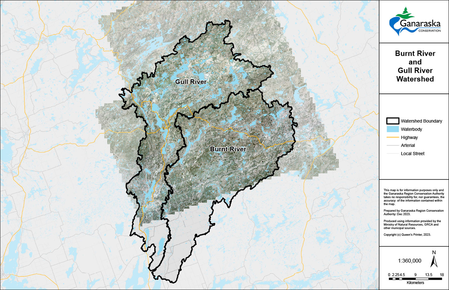
Updated Floodplain Mapping
The Ganaraska Region Conservation Authority (GRCA) partners with municipal partners to update floodplain mapping.
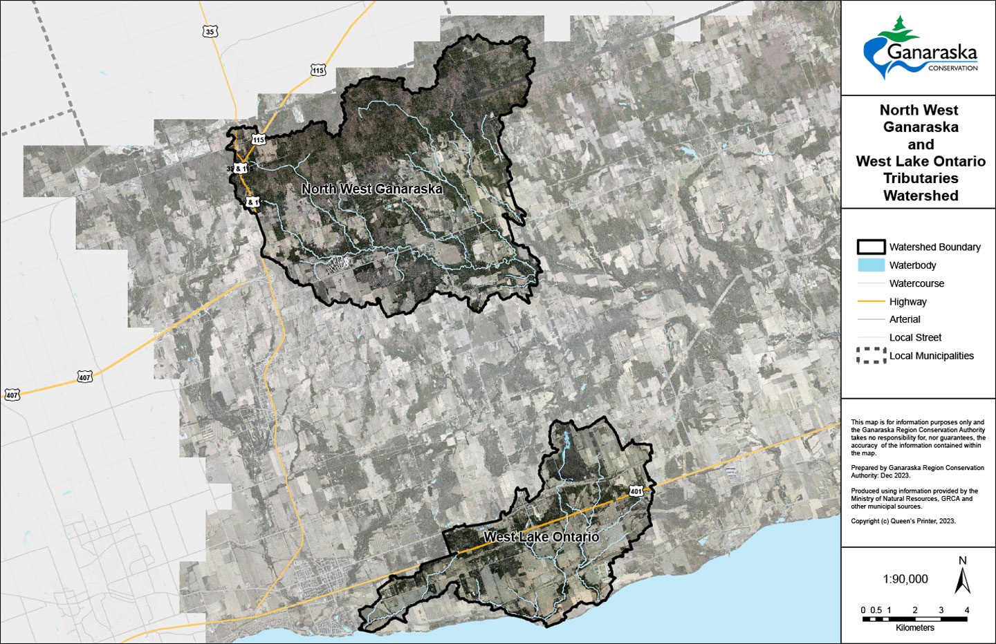
Floodplain mapping helps to identify areas that may be at risk of flooding during severe storms and is an important tool for land use planning and emergency preparedness.
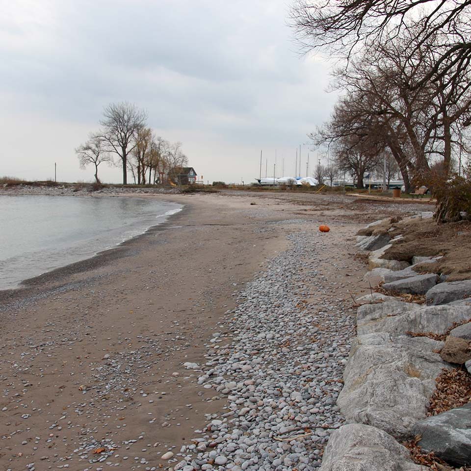
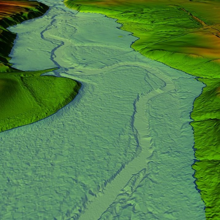
GRCA Hazard Mapping
The GRCA develops hazard mapping that identifies the location of hazard areas to support the regulation made under the Conservation Authorities Act Regulation (Development, Interference with Wetlands and Alterations to Shorelines and Watercourses, Ontario Regulation 168/06).
This mapping is an important communication tool to illustrate areas affected by flood hazards, erosion hazards, wetlands, and the area of interference surrounding wetlands. These hazards are defined in text within regulations made under the Conservation Authorities Act. In the event of a conflict with the mapping, the text description prevails.
Administration Office
2216 County Road 28
Port Hope, ON L1A 3V8
T: 905.885.8173
F: 905.885.9824
Ganaraska Forest Centre
10585 Cold Springs Camp Road
Campbellcroft, ON L0A 1B0
T: 905.885.8173
F: 905.797.2545
Floodplain Mapping Projects
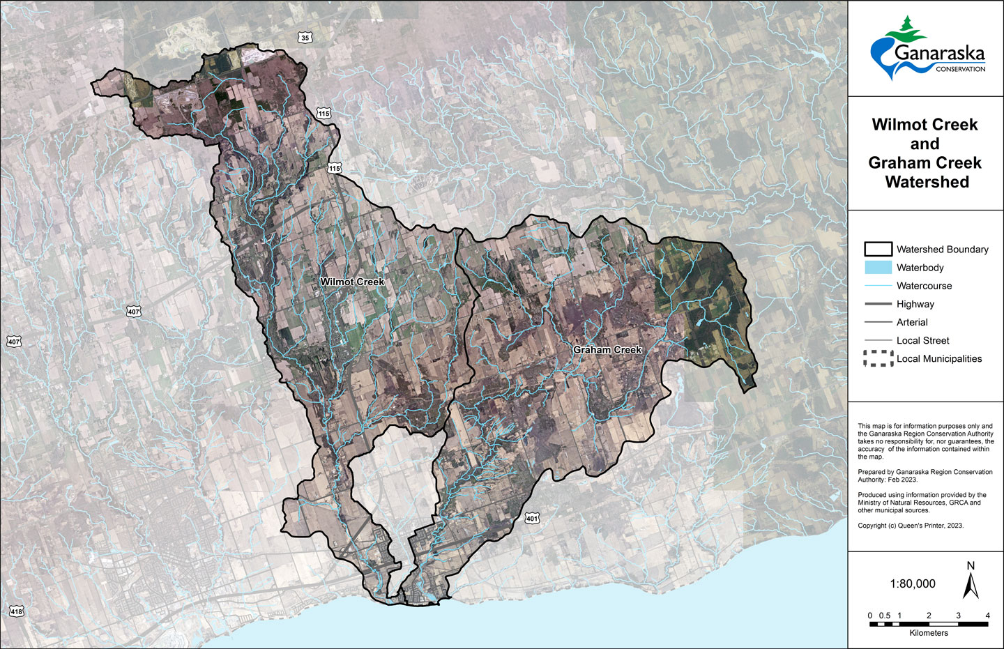
Wilmot & Graham Creek Floodplain Mapping
Region of Durham Floodplain Mapping Update