
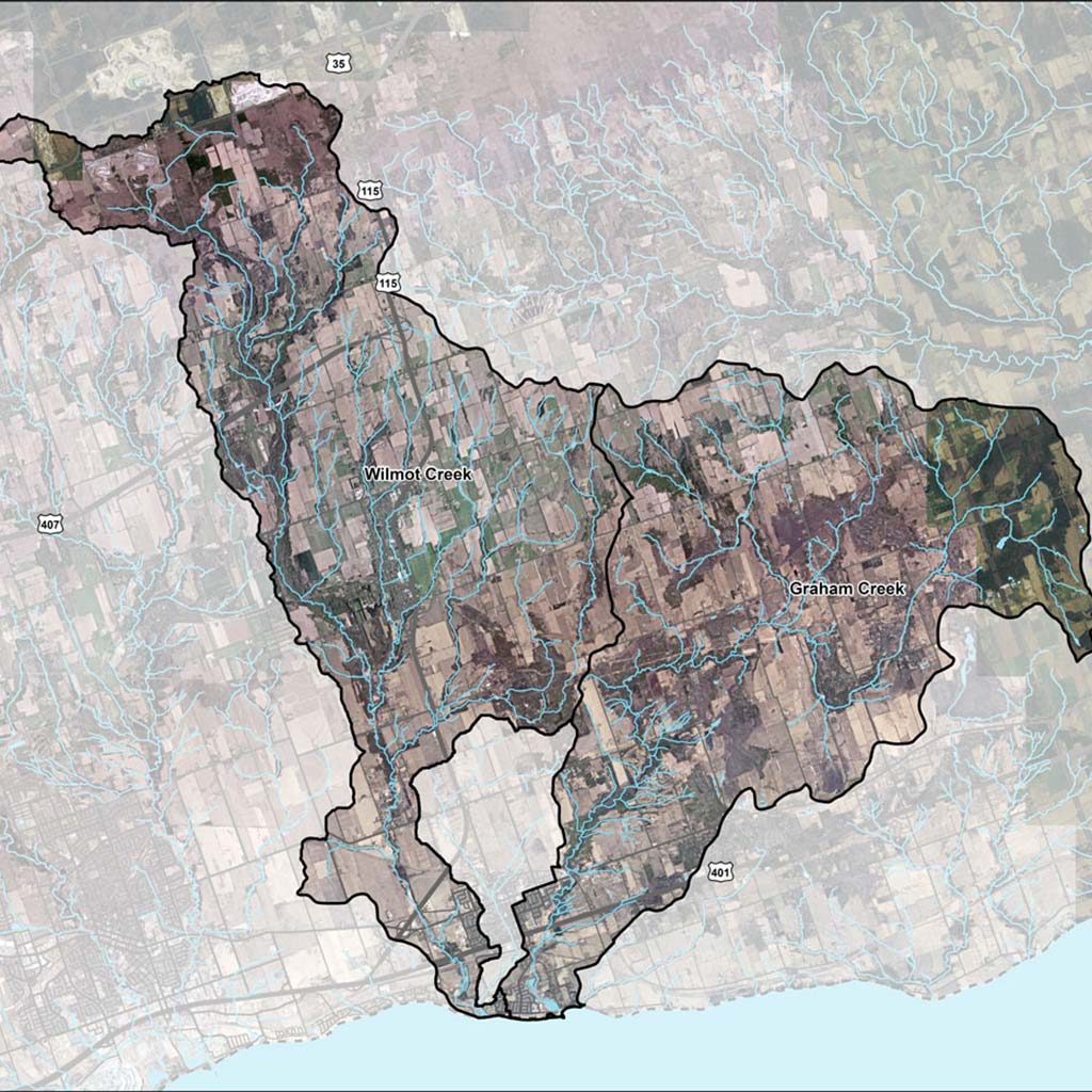
Click Image For Map (PDF)
Updated Floodplain Mapping
The Ganaraska Region Conservation Authority (GRCA) partnered with the Municipality of Clarington to update floodplain mapping for the Wilmot & Graham Creek watersheds.
Floodplain mapping helps to identify areas that may be at risk of flooding during severe storms and is an important tool for land use planning and emergency preparedness.
The study area covers the Wilmot & Graham Creek watersheds, which includes Newcastle Village, Orono, and the Hamlets of Brownsville, Leskard, Starkville, Clarke, and Newtonville. Residents can view the presentation video from the March 20th, 2023 meeting, as well as view the Mapping Interface of draft floodplain changes using the links below.
Project Timeline & Status
- Spring & Summer 2021
Background Data Review - Summer 2021 – Summer 2022
Field Survey of Structures - Fall 2021 – Winter 2023 Winter 2023
GIS Data & Model Development
- Winter – Spring 2023
Report & Map Production Public Information Centre - End of March 2023
Project Completion
- The importance of floodplain mapping in building resilient communities is highlighted in the following article:
https://conservationontario.ca/conservation-authorities/flood-erosion-management/floodplain-mapping - Priority #1 of Ontario’s Flooding Strategy is “Understand Flood Risks”:
https://www.ontario.ca/page/protecting-people-property-ontarios-flooding-strategy
To find answers to some of the common questions asked about flood plain mapping and this update, take a look at our Frequently Asked Questions (FAQ) information sheet:
Property owners play an important role in flood prevention and preparedness. The following resources have been developed to help Municipality of Clarington and area residents take action to reduce their flood risk:
For further information about this study, contact the Project Technical Lead:
Cory Harris, P. Eng.
Watershed Services Coordinator
Ganaraska Region Conservation Authority
charris@grca.on.ca
905.885.8173 ext. 226