
Help Shape the Future of Recreation
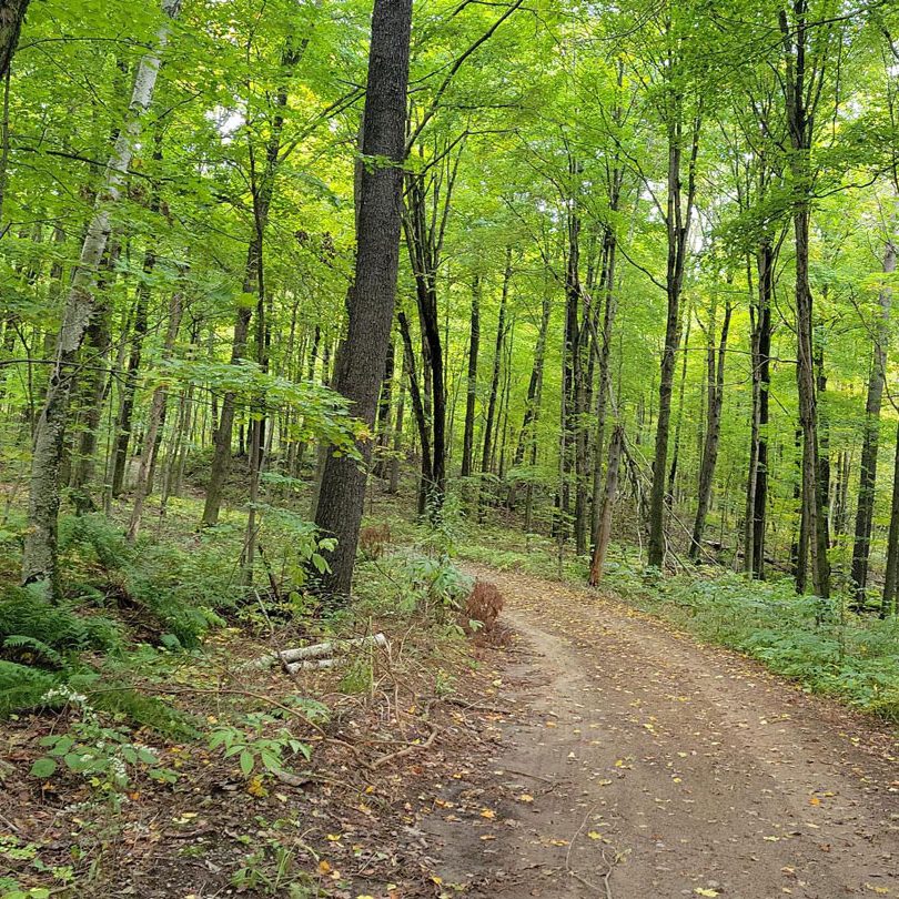
The Ganaraska Region Conservation Authority (GRCA) owns and manages the 11,000-acre Ganaraska Forest, which includes a recreational program, offering multi-use activities on the property.
In 2024, the GRCA will be undertaking steps to create a GIS-based model to help determine recreational trail locations in the Ganaraska Forest. Once created, this model will be used to run scenarios to recommend and refine recreational trail locations.
The GRCA would like to thank the many participants for taking the time to complete the online survey and attend the two public open houses. Your valuable input and involvement are greatly appreciated.
As of March 7th, 2024, the Trails Survey has closed.
Public Input Period Has Ended
Completed Public Open Houses
WHEN:
Tues., Feb. 27, 2024
3:00 PM to 7:00 PM
WHERE:
Ganaraska Forest Centre
10585 Cold Springs Camp Rd.,
Campbellcroft, ON
WHEN:
Wed., Feb. 28, 2024
3:00 PM to 5:30 PM
WHERE:
GRCA Administrative Office
2216 County Rd. 28,
Port Hope, ON
For questions or additional information, please contact the GRCA at 905.885.8173, Mon.–Fri. from 8:30 a.m. to 4:30 p.m.
To purchase a Ganaraska Forest Membership or Day Pass, please visit:
Please download and read the Ganaraska Forest Rules & Guidelines before visiting the Forest.
The GRCA maintains cross-country skiing trails when weather conditions permit, including snow depth and cold temperatures.
Current Trail Conditions
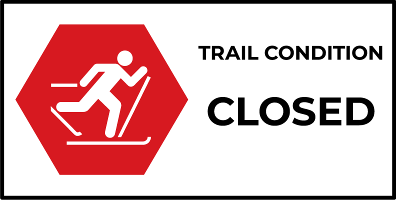
All Trails & Loops
Ski Trails Closed For the Season,
updated on Mar. 31st, 2026
Current reported conditions are listed as of the time and date provided and change due to weather conditions.
Administration Office
2216 County Road 28
Port Hope, ON L1A 3V8
T: 905.885.8173
F: 905.885.9824
Ganaraska Forest Centre
10585 Cold Springs Camp Road
Campbellcroft, ON L0A 1B0
T: 905.885.8173
F: 905.797.2545