

Ganaraska Conservation Spring Newsletter 2026
Read about exciting news and upcoming events, as well as other important information from Ganaraska Conservation. Consider signing-up to receive our email newsletter when it releases.
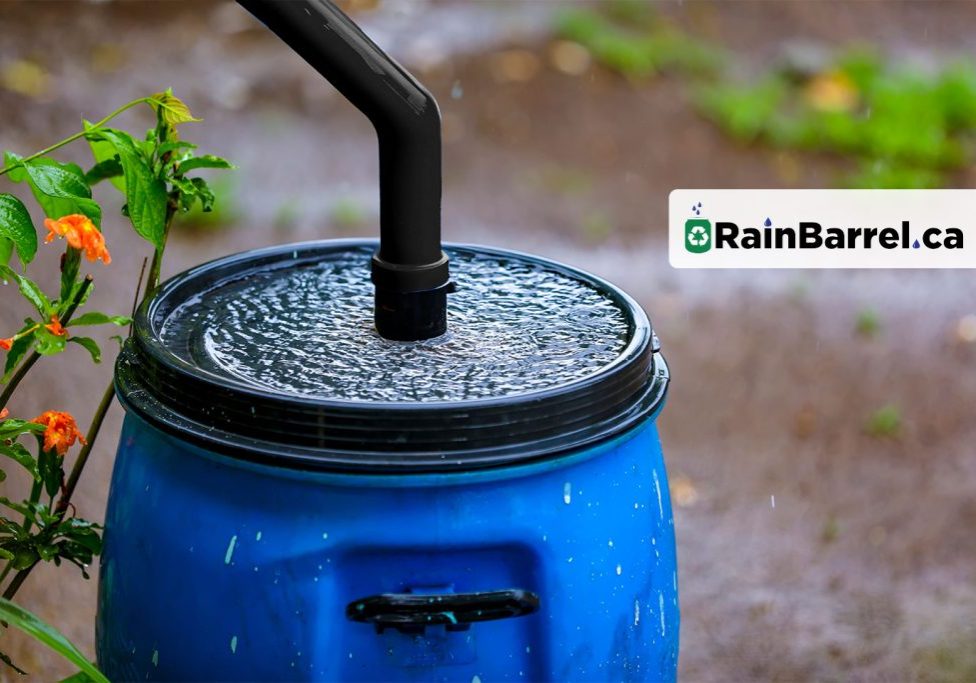
Rain Barrel Sale 2026: Conserve Water & Save Costs At Home
SALE HAS ENDED FOR 2026: This sale is available for a limited time, so act fast and order before June 1st! Discounted pricing is available for residents within the Township of Hamilton, Town of Cobourg, the Municipality of Port Hope and the Municipality of Clarington, within the Ganaraska Region Conservation Authority jurisdiction. Order before June 1st to receive a discount on each barrel, to be delivered directly to you.

Upcoming Four Directions Speaker Series
Mino Bimaadiziwin: Join Us for a FREE, Five-Part Series Exploring Anishinaabe Worldview, Teachings & Storytelling Based on the Four Directions. The Sophia Hilton Foundation of Canada and Ganaraska Conservation are pleased to present this five-part speakers series, featuring: Dr. Jennifer Meness, Algonquins of Pikwakanagan First Nation & Professor of Indigenous Studies at Toronto Metropolitan University. This series will take place in the Ganaraska Millennium Building (south-eastern building) at 2216 County Road 28, Port Hope. For tickets and additional information, please visit: https://grca.on.ca/speaker-series/
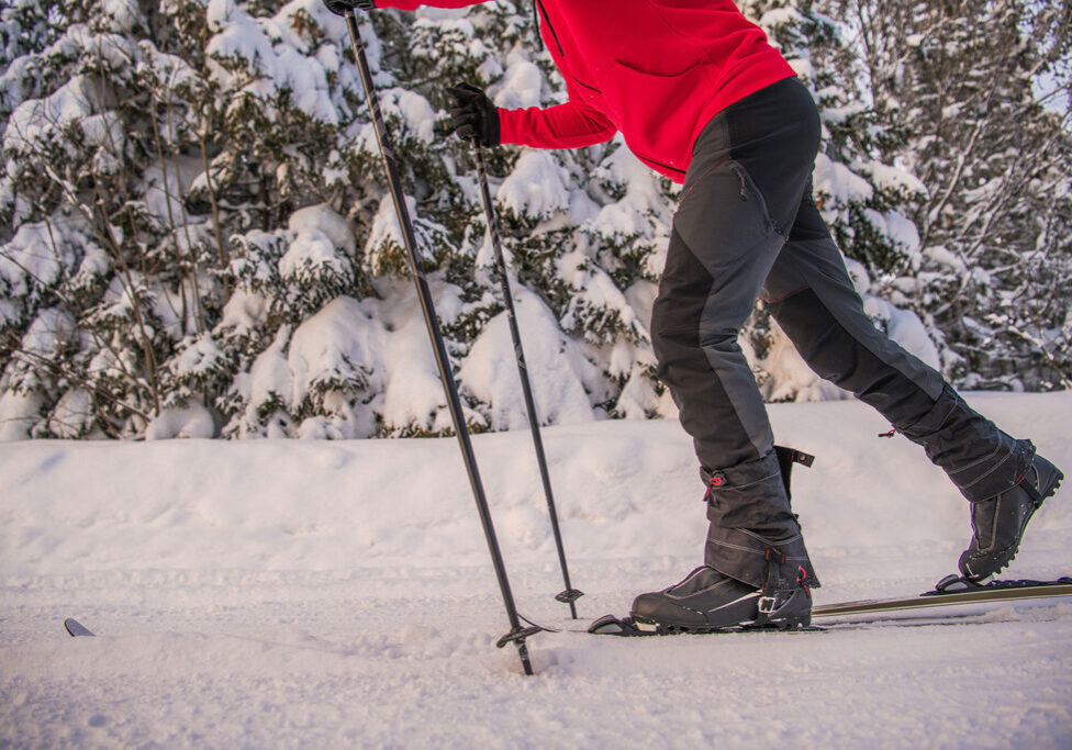
Winter Rec. Opportunities Still Available Until Forest Reopens to All Activities On May 1st!
This Saturday, Feb. 28th, marks the last day of the season for cycling and horseback riding in the Ganaraska Forest. But, on May 1st, the GRCA looks forward to welcoming back all recreational user types, including motorized, horseback and cycling! For the remainder of the season, hiking, snowshoeing and cross-country skiing opportunities continue to be available with a Day Pass or Forest Membership. Reminder, cross-country ski trails are one-way and exclusive to skiers during the winter season. Please do not purchase cycling or horseback day passes from the online store beyond the Feb. 28th date.

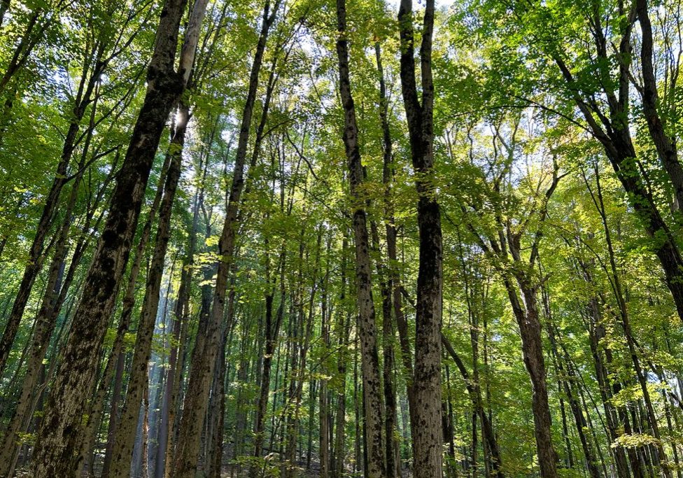
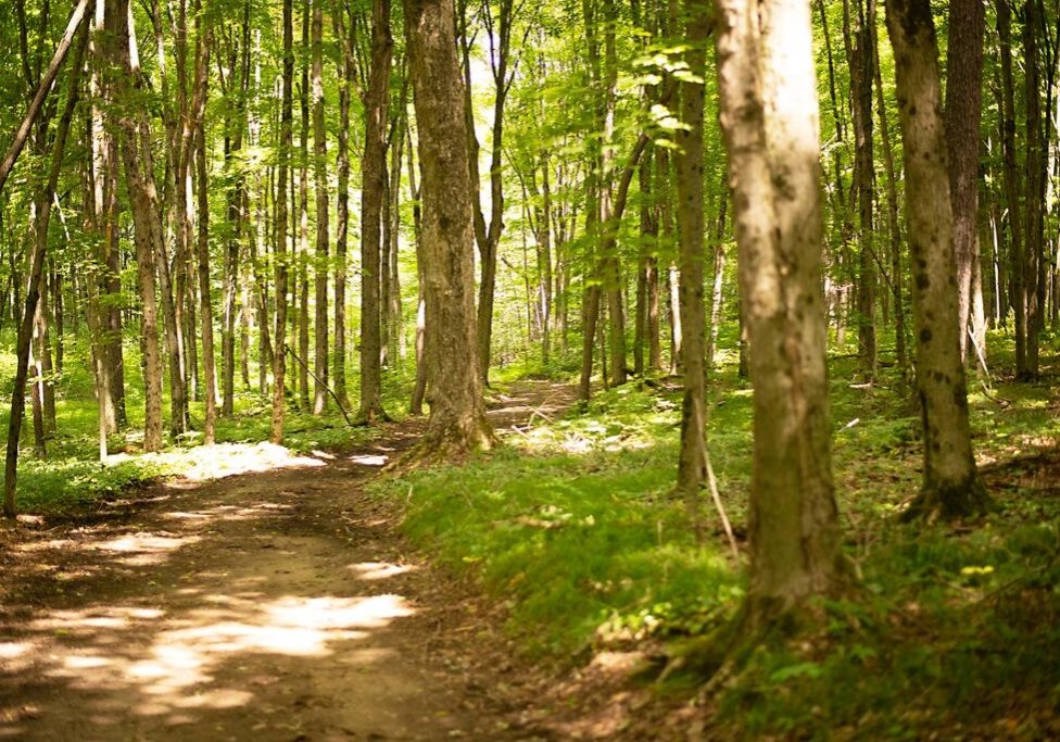
Ganaraska Forest Trails Opened For the Season On May 1st
The Ganaraska Region Conservation Authority (GRCA) is set to open the Ganaraska Forest trails for the season on Thursday, May 1st, 2025, for users with a valid day pass or membership. Updates to the Ganaraska Conservation Online Store: In an effort to streamline the sign-up process, new users and those renewing will now receive their member card / day pass and parking pass attached to the purchase confirmation email received from the online store. The design of the parking pass has changed but any valid parking pass will be accepted. Ganaraska Forest Trails Update: Please exercise caution on trails, as there are still trail blockages and debris throughout the Forest after the ice storms and severe weather earlier in April. GRCA staff continue to work to clear Ganaraska Forest trails, when weather and ground conditions permit.
Ganaraska Conservation Spring Newsletter 2025
Read about exciting news and upcoming events, as well as other important information from Ganaraska Conservation. Consider signing-up to receive our email newsletter when it releases.
Upcoming Military Training Exercise Will Include Portions of West Ganaraska Forest
Northumberland County is preparing to welcome approximately 800 members of the Canadian Armed Forces for a planned emergency training exercise taking place on April 25–27, 2025. Part of the military training will take place in the West Ganaraska Forest, where the Ganaraska Region Conservation Authority (GRCA) will be closing a section of the West Forest from April 25–27. For the safety of both Forest users and the participants in the training exercise, the Ganaraska Forest Trails Map will include the closed area that is included as a graphic with this post.

Summer Newsletter 2024
Read about exciting news and upcoming events, as well as other important information from Ganaraska Conservation. Consider signing-up to receive the email when it releases.

Notice of Public Open Houses: Draft Conservation Lands Strategy
Consultation on the Draft Conservation Lands Strategy will occur from July 2 to August 12, 2024 and will include two Public Open Houses, one at the GRCA Administration Office and one at the Ganaraska Forest Centre (GFC).
Exciting news, discounted rain barrels available for 2024!
Rain barrels are a great way to conserve water and reduce costs on your property. In 2024, rain barrels are being offered in a variety of styles and price points through rainbarrel.ca. Order before June 17th to receive a $25* discount on each barrel, which will then be delivered directly to you.
Multi-Use Activities Not at Risk in the Ganaraska Forest
With your input, new and expanded trail networks will be created in the Forest. The Ganaraska Region Conservation Authority (GRCA) is NOT closing trails to any existing user groups in the Ganaraska Forest. Despite misinformation circulating online, the GRCA remains committed to providing multi-use, recreational trails for ALL to enjoy, including both motorized and non-motorized activities.
Notice of Public Open House: Trail Modelling & Development in the Ganaraska Forest
The Ganaraska Region Conservation Authority (GRCA) owns and manages the 11,000-acre Ganaraska Forest. A recreational program is offered supporting multi-use activities on the property. The GRCA is using a Geographic Information System (GlS)-based method/model for determining new recreational trail locations, based on environmental factors, as well as user preferences for trail attributes. The GRCA will be hosting two public open houses seeking feedback on the environmental and trail user criteria that will be used by the GIS model to support new trail locations.
Education
Education Staff
Please contact us on how we may help in presenting the appropriate safety, supervision and risk management information to your administrators or if you have further questions for GRCA Teachers and programming.
education@grca.on.ca
T: 905.885.8173
Administration Office
2216 County Road 28
Port Hope, ON L1A 3V8
T: 905.885.8173
F: 905.885.9824
Ganaraska Forest Centre
10585 Cold Springs Camp Road
Campbellcroft, ON L0A 1B0
T: 905.885.8173
F: 905.797.2545