Monitoring Groundwater
In the Ganaraska Region Conservation Authority (GRCA) Watershed, groundwater is an invaluable resource that must be sustainably managed.
The GRCA has developed and currently implements a comprehensive groundwater monitoring program throughout the Ganaraska Region Watershed. The program consists of several projects and initiatives aimed at enhancing the understanding, protection and management of groundwater resources within the authority’s watersheds.
These projects include groundwater monitoring, modelling, surface water and groundwater interaction, as well as data collection and technical support activities. Data collected and analyzed through the groundwater programs is used in local planning initiatives including drinking water source protection, watershed plans and fisheries management plans.
As part of the GRCA watershed-wide, integrated monitoring program, the main objective of the groundwater monitoring project is to quantify groundwater level fluctuations, groundwater flow directions and gradients, monitor groundwater quality at selected locations and record changes over time.
Administration Office
2216 County Road 28
Port Hope, ON L1A 3V8
T: 905.885.8173
F: 905.885.9824
Ganaraska Forest Centre
10585 Cold Springs Camp Road
Campbellcroft, ON L0A 1B0
T: 905.885.8173
F: 905.797.2545
GRCA Monitoring Programs
A number of recent studies conducted in Ontario have suggested groundwater resources are under increasing stress from factors affecting both water quality and quantity. Long-term integrated groundwater monitoring programs are needed to address these issues.
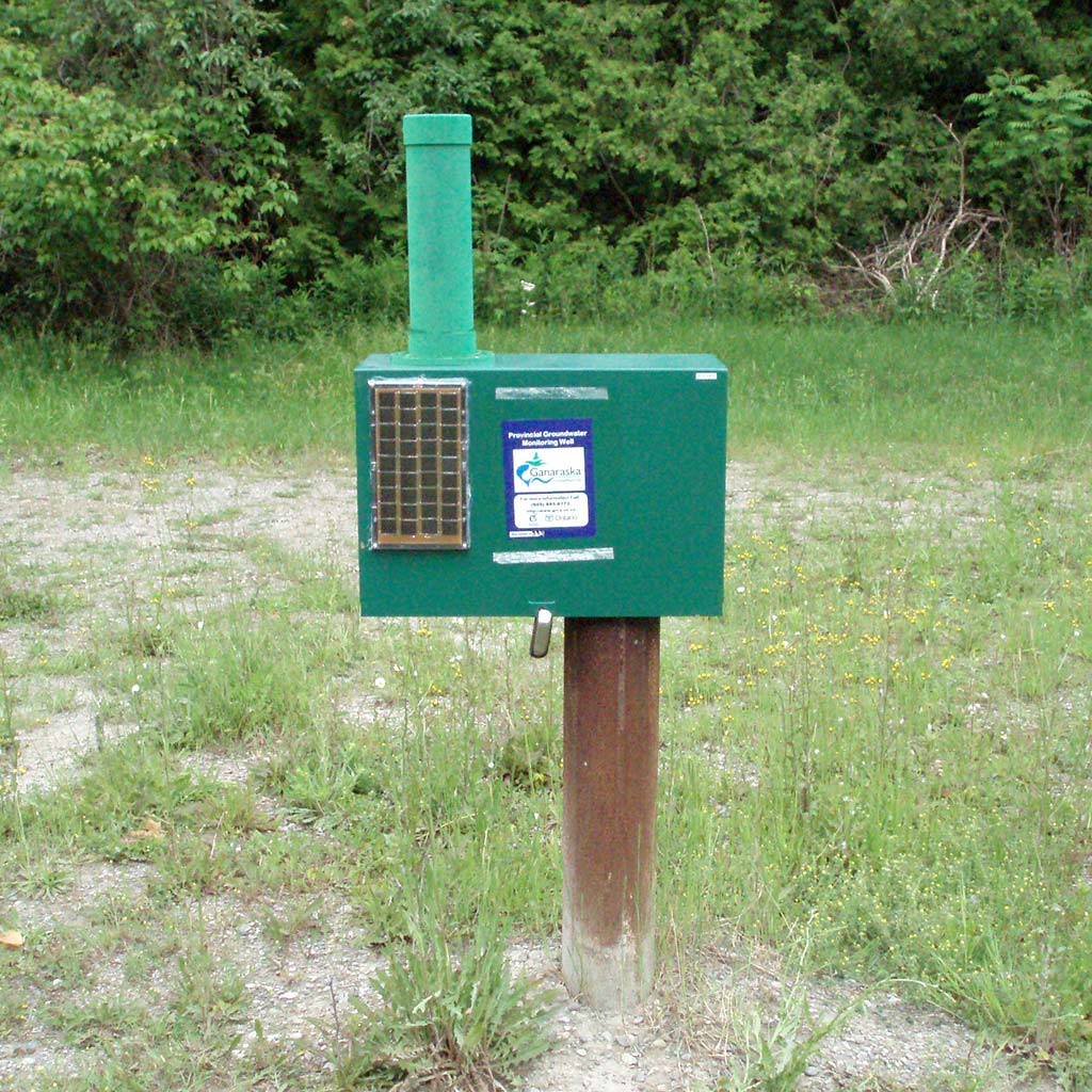
In 2001, the Ontario’s Ministry of the Environment, Conservation and Parks (MECP) initiated the development of a Provincial Groundwater Monitoring Network (PGMN), in partnership with conservation authorities and a number of municipalities across the province. The PGMN program focuses on monitoring of water level and water quality in selected and instrumented monitoring wells within each conservation authority. Data generated from this network provides supporting background information for groundwater resource management areas such as drought response, scientific modelling, water policy development, and land use planning.
The GRCA has been actively involved with the PGMN program since September 2001. PGMN monitoring wells were selected to monitor ambient conditions in shallow and deep aquifer systems. To date, 17 wells across the GRCA watersheds have been incorporated into the network, 15 of which are instrumented with automated water level monitoring and telemetry equipment, and 2 with manual download stations. Dedicated water quality sampling pumps were installed in 11 wells.
Annual groundwater samples are also collected from the majority of the wells and analyzed for water quality parameters. The PGMN wells provide necessary baseline data and aid the GRCA in making informed land use planning and sustainable groundwater management strategies.
The groundwater system supports aquatic species and their habitats by providing baseflow to the rivers and creeks. Baseflow is defined as that portion of the total flow within a stream section that is derived exclusively from groundwater discharge.
Following a period of little or no precipitation, essentially all flow within a river system can be baseflow, notwithstanding possible anthropogenic inputs (e.g. such as the release of water from various sources of surface storage, ponds, and storm water sewers). Baseflow contributes to habitat conditions that support a healthy aquatic ecosystem. Changes to the quantity and quality of groundwater discharge can affect the aquatic ecosystem.
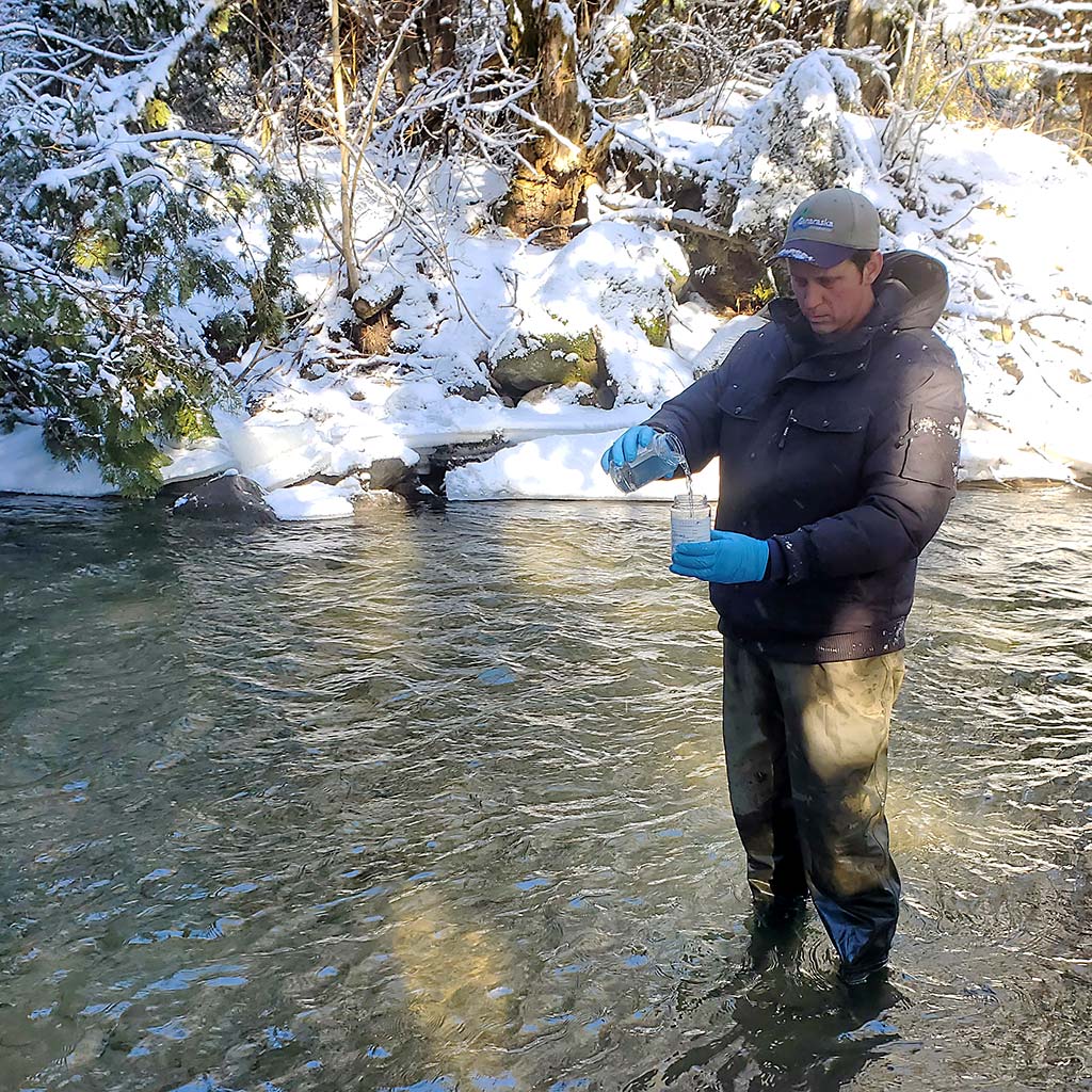
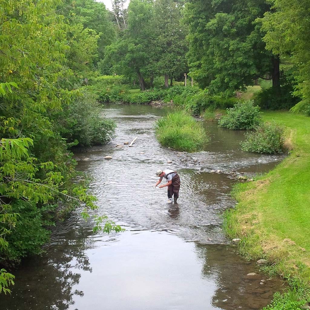
Monitoring of low flow in local streams is particularly important for the management of water resources since demand for water usually increases during dry weather. As a result, streamflow may approach the minimum requirements to sustain ecological or water quality functions. Groundwater discharge is often concentrated in particular areas as a result of changes in topography, geology, and the nature of the groundwater flow regime.
GRCA technical staff and students monitor baseflow during summer seasons when precipitation is expected to be low. Suitable sites selected for the spotflow monitoring are intended to be generally representative of entire watersheds or smaller catchments in a subwatershed.
GRCA is a proud and dedicated partner agency in the Oak Ridges Moraine Groundwater Program. This program was established nearly 20 years ago to manage groundwater data consistently across watersheds that originate from the Oak Ridges Moraine. The ORMGP study area includes a significant portion of the GRCA Watershed.
ORMGP is one of the most comprehensive, actively managed water programs in Canada. Its innovative, interactive mapping website provides GRCA staff with access to not only raw monitoring data, but also a library of relevant consulting, government and research related reports, coupled with powerfully interpretive graphs and maps — all designed to assist in making faster and more effective water management decisions.
Partner agencies, such as GRCA, work collaboratively with ORMGP to ensure that data and watershed studies are up-to-date. This allows for more focused GRCA-held data to be integrated with other more regional datasets to enhance understanding of water movement within the watershed.
The ORMGP website provides one-window public access to significant water and geology related data holdings, including maps of wells, water table mapping, geological mapping and long term water level monitoring data, to name a few. Anyone interested in water related data within the GRCA watershed is encouraged to visit the ORMGP website: www.oakridgeswater.ca