
- All
- GRCA Events
- Media Releases
- Flood Forecasting & Warning
- Ontario Low Water Response
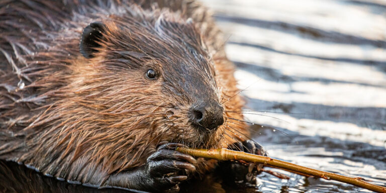
Beavers on the Lower Ganaraska River
The Ganaraska Region Conservation Authority (GRCA) and the Municipality of Port Hope are aware of beaver activity along the lower Ganaraska River. GRCA and Port Hope staff have been monitoring the beaver dam, south of Jocelyn Street and west of the former MTO property, since 2022. The dam is located in a side channel, parallel to the main river, and is not blocking flow or fish passage in the main branch of the river. As the beaver dam is located on public land, in a natural river corridor, efforts are being made to coexist with the beavers. The ongoing monitoring efforts have confirmed the beaver activity and associated dam are not flooding private lands, increasing flood risk, threatening infrastructure or creating public safety concerns.
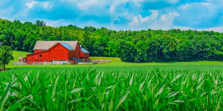
New Agricultural Program Focused On Improving Farm Resilience & Biodiversity
Durham Region agricultural landowners: up to 100% funding is available through the new Resilient Agricultural Landscape Program (RALP) for eligible Best Management Practices focused on improving farm resilience and biodiversity. Funds can also be matched with funding from Ganaraska Conservation’s Clean Water-Healthy Land Financial Assistance Program. Learn more and check eligibility at https://www.ralpprogram.org/

Halloween Pumpkin Reminder
After a safe and spooky Halloween night, please remember to compost your pumpkin or consider donating them at the request of a local farm or organization. Many communities also have ‘pumpkin parades,’ where pumpkins are gathered for distribution to local farms. Disposing of pumpkins and other vegetation in natural areas can be harmful to local wildlife, while also presenting the risk of introducing a potentially invasive species or pathogen into an ecosystem.
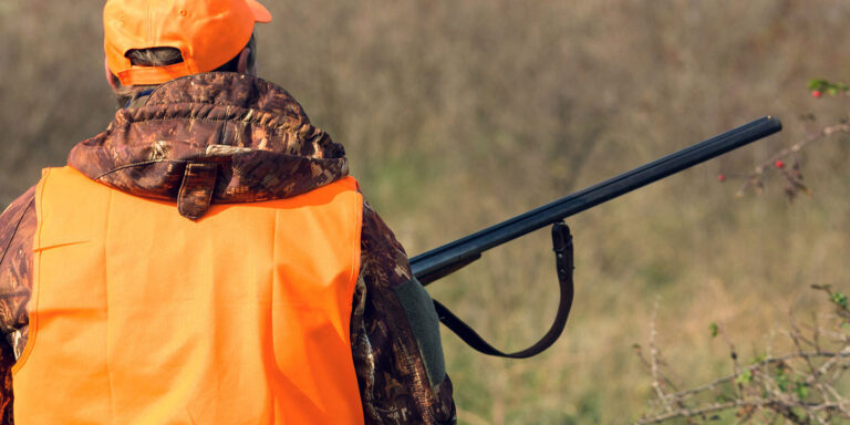
Ganaraska Forest Fall Hunting Reminders
Hunting opportunities exist in the Ganaraska Forest year-round, as per Ontario Hunting Regulations ( https://www.ontario.ca/document/ontario-hunting-regulations-summary).
Before planning to hunt in the Ganaraska Forest, all hunters should visit https://grca.on.ca/content/recreation-users#hunting for more information on hunting rules in the Forest and to consult the Ganaraska Forest Trails Map: https://grca.on.ca/forest-recreation/ganaraska-forest-trails-map/
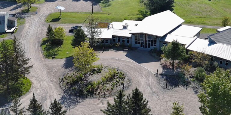
Construction Begins On Future Ganaraska Forest Centre Auxiliary Building
Work will begin early October at the site of the former gymnasium building on the Ganaraska Forest Centre (GFC) grounds, located in the Central Ganaraska Forest. If visiting the GFC or Forest, please follow all posted signage and note that there may be a slight reduction in the parking area. Fencing will be in place to restrict access to the worksite. Construction on the site will extend into early 2027. The GRCA would like to thank the public in advance for their patience and understanding.

Ganaraska Forest Timber Harvest Season Begins Again
With the start of timber harvest season in the Ganaraska Forest, the Ganaraska Region Conservation Authority (GRCA) would like to remind Forest users to exercise caution and yield the right-of-way to logging equipment during timber harvest operations. Exercise Caution When Encountering Logging Equipment in the Ganaraska Forest: Some forest roads may remain open to facilitate the movement of logging equipment through the Forest. Operations, starting September 10, 2026, will take place predominantly in the Central Forest, including a combination of selective thinning and final removals, remaining active until February 28, 2027. During this time, all recreational trails within active logging areas will remain closed for the safety of users and contractors. Additionally, hunting in or accessing trails through active logging areas is prohibited.
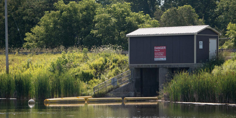
Garden Hill Dam Class Environmental Assessment Moving Forward
The Ganaraska Region Conservation Authority (GRCA) has begun the Class Environmental Assessment process for the Garden Hill Dam, after awarding the contract to a successful consultant. At their Aug. 20th meeting, the GRCA Board of Directors received an update report from GRCA Watershed Services Coordinator Cory Harris, P.Eng., indicating the GRCA has moved ahead with recommendations to prepare a request for proposal (RFP) and review submissions from qualified consultants. CIMA+ was selected with sub-consultants GEO Morphix and Matrix Heritage. Background materials have been shared with the consultant and the start-up meeting was held August 18th. The GRCA has corresponded with staff from the Municipality of Port Hope to keep respective team members informed throughout the RFP process. It is anticipated a ‘notice of study commencement’ will be released shortly and a communications plan will be prepared to guide the public consultation activities during the study.

STATEMENT ENDED: Water Safety
STATEMENT ENDED: The Ganaraska Region Conservation Authority advises that heavy rainfall moved through our region overnight resulting in high levels of runoff to local streams. Rainfall totals of 60 to 80mm have been observed in our gauges since yesterday. The weather system is now moving East, and the rain will end for the Ganaraska region watersheds over the next hour. This Watershed Conditions Statement will be in effect until Tuesday, August 4th, 2026, at 12 p.m. Conservation Authority staff will continue to monitor watershed conditions and provide updates as necessary.

STATEMENT ENDED: Lake Ontario Flood Outlook
STATEMENT ENDED: The Ganaraska Region Conservation Authority is further extending the Shoreline Conditions Statement due to persistent high-water levels on Lake Ontario. The water level of Lake Ontario has remained stable over the past three weeks and is currently 75.41 meters above sea level (masl). Persistent precipitation this spring caused Lake Ontario water levels to increase to 75.30 m by the end of April 2026, and 75.40 m by the end of May, an increase of 86 cm since the start of March. The average water level in Lake Ontario rose 42 cm over the month of April, compared to the long-term average April rise of 21 cm.
Since 1960, Lake Ontario has statistically reached at or above 75.30 m once every three years, or 33% of the years within the period of record. Although significant, reaching a water level of 75.30 m is not unusual. This Shoreline Conditions Statement for the Lake Ontario shoreline, within the Ganaraska Region, will be in effect until Friday, July 31st, 2026, at 12 p.m. Conservation Authority staff will continue to monitor conditions and provide updates as necessary.

STATEMENT ENDED: Rice Lake Shoreline
STATEMENT ENDED: The Ganaraska Region Conservation Authority advises water levels on Rice Lake continue to decline. The Flood Watch originally issued on April 16th has been downgraded and replaced by this Water Safety Statement to reflect the improving conditions. High runoff generated by snowmelt and above average rainfall caused flooding throughout the Trent River watershed impacting communities and lake shoreline residents including those on Rice Lake. The water level of Rice Lake peaked on April 21st at 187.2 meters above sea level (masl) and has since declined to 187.03 masl as of yesterday, which is still 21 cm above average for this time of year. Water levels have been declining at a rate of 2 to 4 cm per day depending on the amount of rainfall received. This Watershed Conditions Statement for the shoreline of Rice Lake within the Ganaraska Region will be in effect until Wednesday, May 6th, 2026, at 12 p.m. Conservation Authority staff will continue to monitor watershed conditions and provide updates as necessary.

Ganaraska Forest Reopened for the Season On May 1st
The Ganaraska Region Conservation Authority (GRCA) reopened the Ganaraska Forest trails to all recreational uses on Friday, May 1st, 2026. Many improvements to the Ganaraska Forest are planned and/or underway for 2026, please consider joining the email newsletter or follow Ganaraska Conservation on social media to keep up-to-date (links to social media can be found at the bottom of the page). Memberships are available throughout the year, while Day Passes for all activities in the Ganaraska Forest will become available from the Ganaraska Conservation Online Store and the GFC gatehouse kiosk the night before the May 1st opening.

Fishing Season Opens April 26, 2026
With the spring fishing season opening on April 25, 2026, the GRCA wanted to share some updates for anglers. Fishing can occur on the east side of the Ganaraska River, within the Ganaraska Millennium Conservation Area (CA). Sylvan Glen CA is also available for fishing, while being mindful of property lines. Port Hope CA will remain closed due to Highway 401 expansion work.
Education
Education Staff
Please contact us on how we may help in presenting the appropriate safety, supervision and risk management information to your administrators or if you have further questions for GRCA Teachers and programming.
education@grca.on.ca
T: 905.885.8173
Administration Office
2216 County Road 28
Port Hope, ON L1A 3V8
T: 905.885.8173
F: 905.885.9824
Ganaraska Forest Centre
10585 Cold Springs Camp Road
Campbellcroft, ON L0A 1B0
T: 905.885.8173
F: 905.797.2545