Explore Ganaraska Conservation
The GRCA is home to some of the oldest conservation areas in the province and many were opened and dedicated by those who were instrumental in the conservation movement.
The primary role of these areas is the long-term protection of watershed features and functions; however, they are available for passive recreation, free of charge.
Please Note: Hours of operation are from dawn until dusk and gates are closed from mid-October to May, due to no winter maintenance. There is no camping or open flame permitted at any GRCA property.
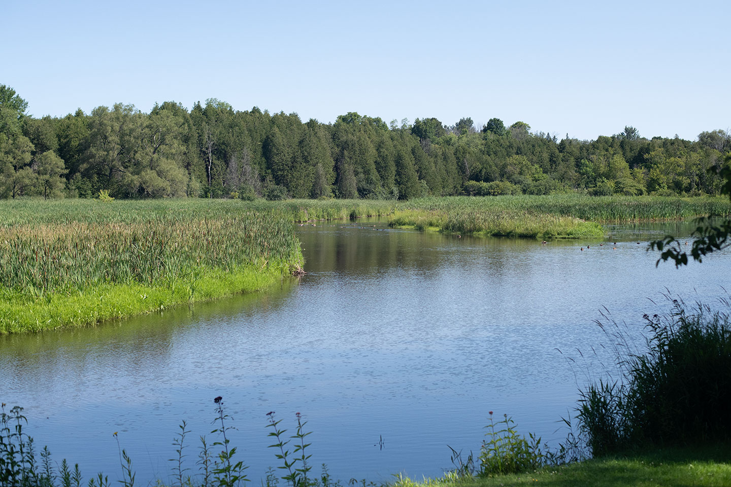
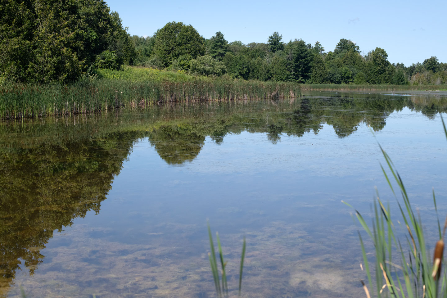
Ball's Mill Conservation Area
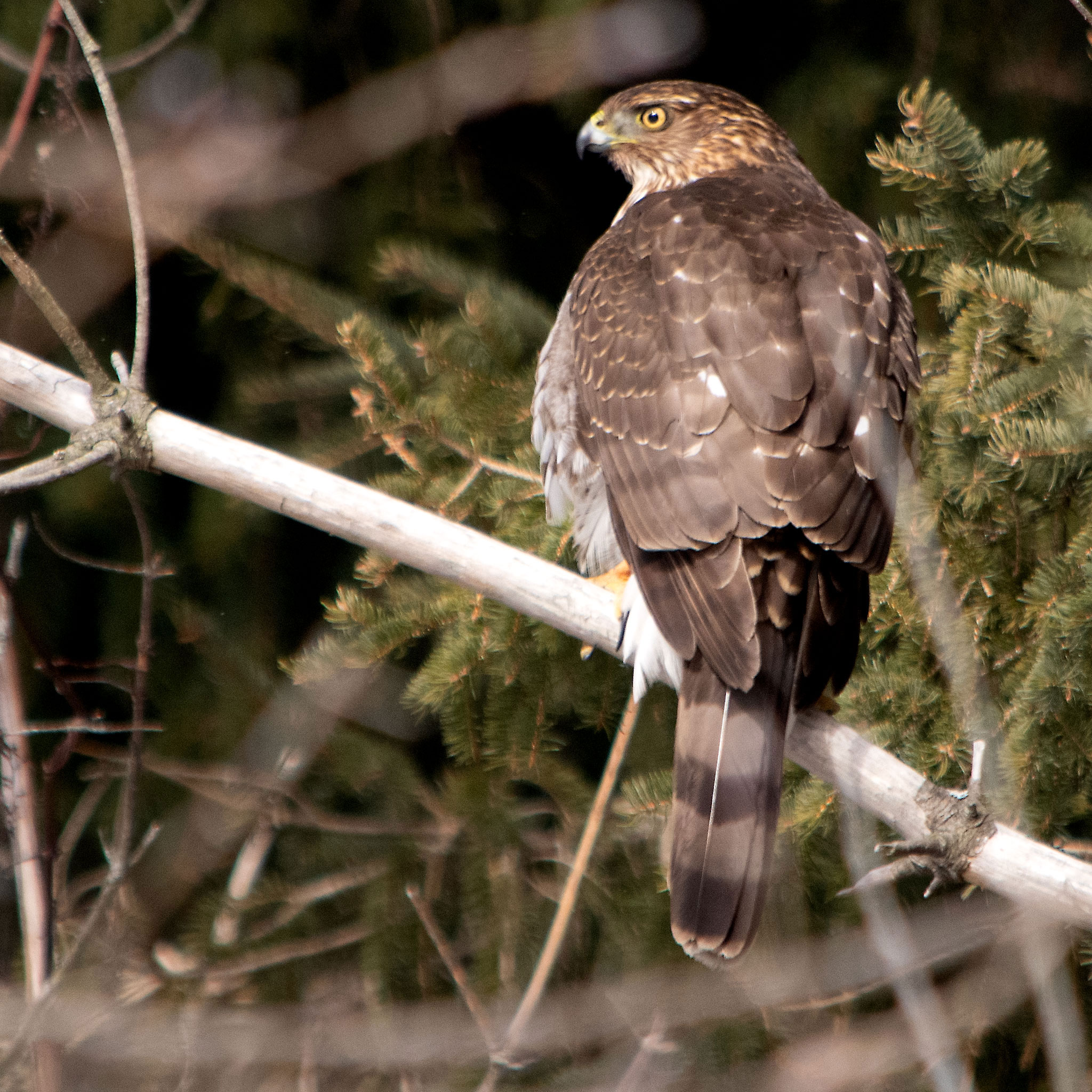
Ball's Mill Conservation Area is used for passive recreation, including nature appreciation and wildlife observations.
Swimming and fishing are not permitted.
Stairs from the north side of the parking lot leads visitors to the pond and dam. At the north end of the conservation area and further up steam, the Baltimore Creek Provincially Significant Wetland is found.
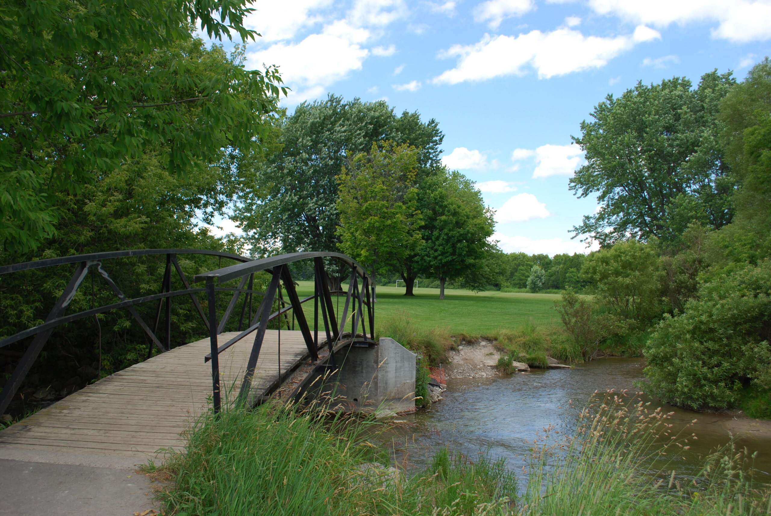
Cobourg Conservation Area
Cobourg Conservation Area is owned by the GRCA and maintained, in partnership, with the Town of Cobourg. Located in the heart of Cobourg, this area is ideal for playing sports and games in the open spaces or taking a stroll near Cobourg Creek.
Fishing is permitted and anglers should be aware fishing is still regulated through the Province of Ontario, which includes the possession of a valid fishing license and respecting provincial catch limits. Anglers must follow provincial fishing practices for Zone 17.
Permits for events and use of the sports field is administered by the Town of Cobourg.
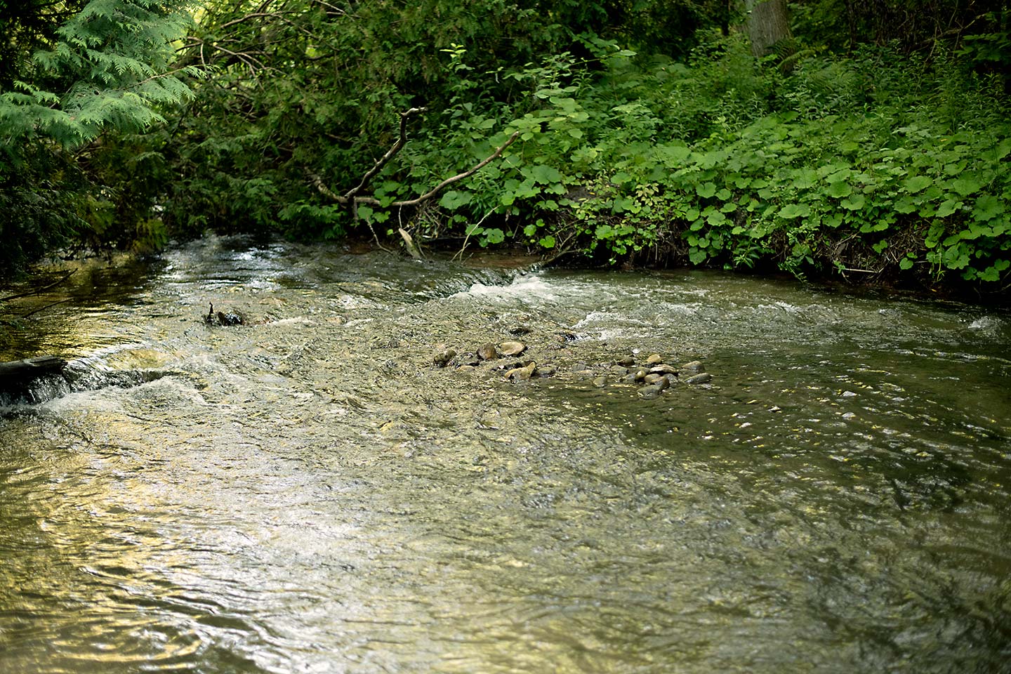
Ganaraska Millennium Conservation Area
Ganaraska Millennium Conservation Area is adjacent to the Ganaraska River and is located at the GRCA Administrative Offices. A two kilometre looped trail meanders around a wetland that was once the Molson Pond, across the river from Port Hope Conservation Area.
Swimming is not permitted.
Fishing is permitted and regulated through the Province of Ontario, which includes the possession of a valid fishing license and respecting provincial catch limits. Anglers must follow provincial fishing practices for Zone 17.
The Conservation Area is used for passive recreation, including nature appreciation, wildlife observations, picnicking, hiking, dog-walking and fishing.

Garden Hill Conservation Area
Garden Hill Conservation Area is used for passive recreation, including nature appreciation, hiking, dog-walking, fishing and wildlife observations.
Swimming and hunting are not permitted.
Fishing is permitted and regulated through the Province of Ontario, which includes the possession of a valid fishing license and respecting provincial catch limits. Anglers must follow provincial fishing practices for Zone 17.
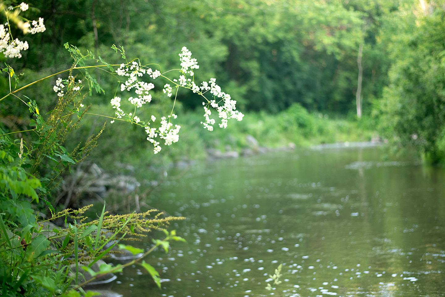
Port Hope Conservation Area
Port Hope Conservation Area is used for passive recreation, including nature appreciation, fishing, dog-walking and wildlife observations.
Swimming and camping are not permitted.
Fishing is permitted and regulated through the Province of Ontario, which includes the possession of a valid fishing license and respecting provincial catch limits. Anglers must follow provincial fishing practices for Zone 17.
Greenspaces are found between the parking lot and Ganaraska River, fishing trails extend along the former rail line. Please respect neighbouring properties and do not enter private property.
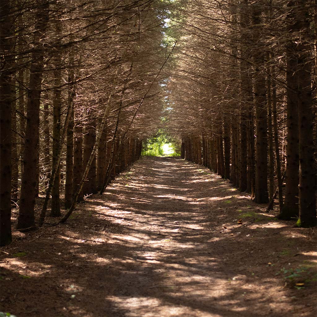
Rice Lake Conservation Area
Rice Lake Conservation Area is used for passive recreation, including nature appreciation, hiking, dog-walking and wildlife observations
Swimming and fishing are not permitted.
A large open space east of the parking lot is available for picnicking, with the trail starting on the north side of the parking lot. A hydro corridor bisects the conservation area. Please stay out of the corridor and respect neighbouring properties.
ATTENTION: Bear sightings have been reported in Rice Lake Conservation Area. Be Bear Wise when visiting.
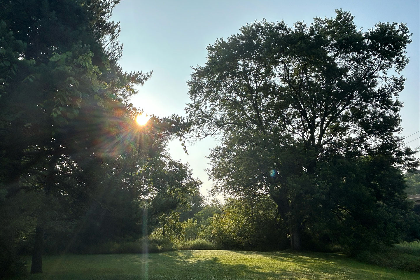
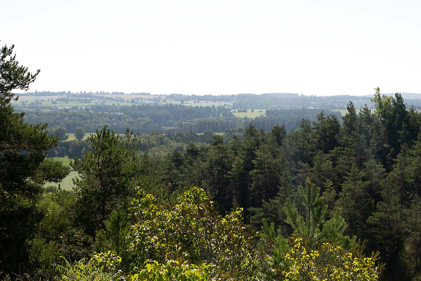
Richardson's Lookout Conservation Area
Richardson's Lookout Conservation Area is used for passive recreation, including nature appreciation and views of the Ganaraska River watershed and Ganaraska Forest.
After ascending stairs and a natural slope, a viewing platform allows visitors to enjoy the views. This conservation area is small (1.2 hectares) and is surrounded by private property.
Please respect our neighbours.

Sylvan Glen Conservation Area
Sylvan Glen Conservation Area is used for passive recreation, including nature appreciation, fishing, dog-walking and wildlife observations.
Swimming is not permitted.
Fishing is permitted and regulated through the Province of Ontario, which includes the possession of a valid fishing license and respecting provincial catch limits. Anglers must follow provincial fishing practices for Zone 17.
Thurne Parks Conservation Area
Thurne Parks Conservation Area is used for passive recreation, including nature appreciation, wildlife observations, fishing, and views of Wilmot Creek.
Fishing is permitted and regulated through the Province of Ontario, which includes the possession of a valid fishing license and respecting provincial catch limits. Anglers must follow provincial fishing practices for Zone 17.