Explore Ganaraska Conservation
The GRCA is home to some of the oldest conservation areas in the province and many were opened and dedicated by those who were instrumental in the conservation movement.
The primary role of these areas is the long-term protection of watershed features and functions; however, they are available for passive recreation, free of charge.
Please Note: Hours of operation are from dawn until dusk and gates are closed from mid-October to May, due to no winter maintenance. There is no camping or open flame permitted at any GRCA property.
Ball's Mill Conservation Area
Ball's Mill Conservation Area is used for passive recreation, including nature appreciation and wildlife observations.
Swimming and fishing are not permitted.
Stairs from the north side of the parking lot leads visitors to the pond and dam. At the north end of the conservation area and further up steam, the Baltimore Creek Provincially Significant Wetland is found.
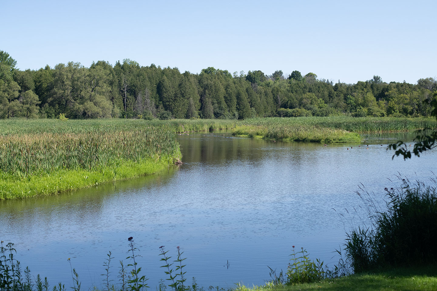
Purchased in 1971, the major feature of Ball’s Mill Conservation Area is the pond that is fed by Baltimore Creek and was created from an earthen fill dam with concrete spillways and stop logs. The pond and the associated unused raceway acknowledge the past when the pond was used in the operation of a grist mill and a small sawmill.
As described in the 1979 Master Plan, the mill was owned and operated by many, five men played vital roles in the development of Ball’s Mill; they were William McDougal, William Ball, John Ball, Fred Ball and Jon R. Ball. The mill was in operation until it was sold to the Ganaraska Region Conservation Authority.
On July 2, 1974 as a result of silt build-up in the pond and the occurrence of a peak flow event, the concrete dam failed causing damage to the pond and downstream areas. The dam was re-built and, in 1988, the GRCA sold the mill portion of the property to private interests. The pond, dam and lands around these features remain in GRCA ownership.
Cobourg Conservation Area
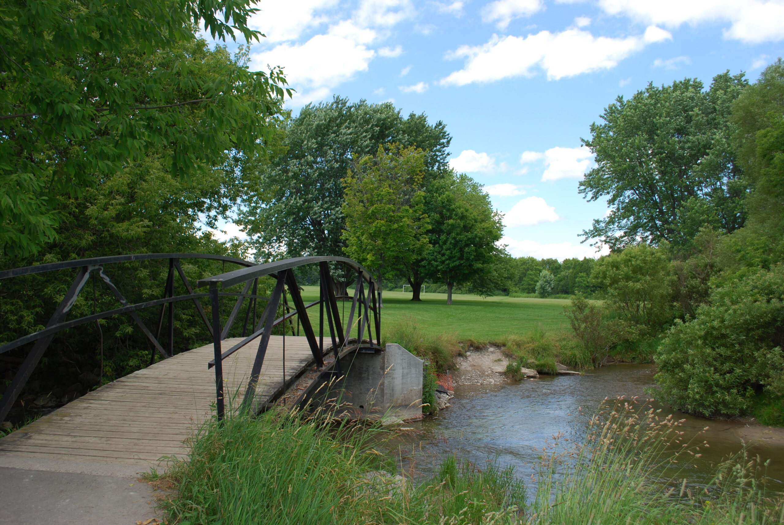
Cobourg Conservation Area is owned by the GRCA and maintained, in partnership, with the Town of Cobourg. Located in the heart of Cobourg, this area is ideal for playing sports and games in the open spaces or taking a stroll near Cobourg Creek.
Fishing is permitted and anglers should be aware fishing is still regulated through the Province of Ontario, which includes the possession of a valid fishing license and respecting provincial catch limits. Anglers must follow provincial fishing practices for Zone 17.
Permits for events and use of the sports field is administered by the Town of Cobourg.
A major feature of the area is the presence of the west and east branches of Cobourg Creek that confluence near the south end of the property. The area is generally flat and as a result, most of the site is prone to flooding. A small weir located above the confluence forms a small elongated wetland along the west branch of Cobourg Creek. This area was formerly a pond but has since been drained as a management technique to allow regeneration of the site. A rocky ramp was installed in 2010 to allow for fish passage.
Cobourg Conservation Area has a long historical existence and has gone through numerous name changes. Prior to its acquisition by the GRCA in 1971, the United Counties of Durham and Northumberland owned the area. From 1965 until 1971, the Conservation Area had been operated by the Rotary Club of Cobourg. Considerable alterations were carried out under the Rotary Club management that gave the area its general characteristics of a large, open grassed area.
The site also holds the name James Cockburn Park. It was named The Honourable James Cockburn Centennial Gardens on September 17, 1967 by the Archaeological and Historic Sites Board of Ontario as part of Canada’s Centennial Year dedications in conjunction with the Cobourg Rotary Club. James Cockburn, a resident of Cobourg, was a Father of Confederation and the first speaker of the House of Commons from 1867 to 1874.
Since its official opening as Cobourg Conservation Area on June 27, 1973 by Her Majesty Queen Elizabeth II, the Cobourg Conservation Area has undergone interim development including the construction of a parking lot and footbridge, tree planting and the modification of a small dam. A stone cairn in the middle of the Conservation Area commemorates the Queen’s visit. A number of erosion control and other projects have also been undertaken over the last 30 years.
Today, Cobourg Conservation Area is owned by the Ganaraska Region Conservation Authority and operated by the Town of Cobourg. The Master Plan for the Cobourg Conservation Area was updated in 2002 to address current conditions and user request of the area. This document outlines activities and upgrades that could be applied to the Conservation Area to guide sustainable management into the future.
Ganaraska Millennium Conservation Area
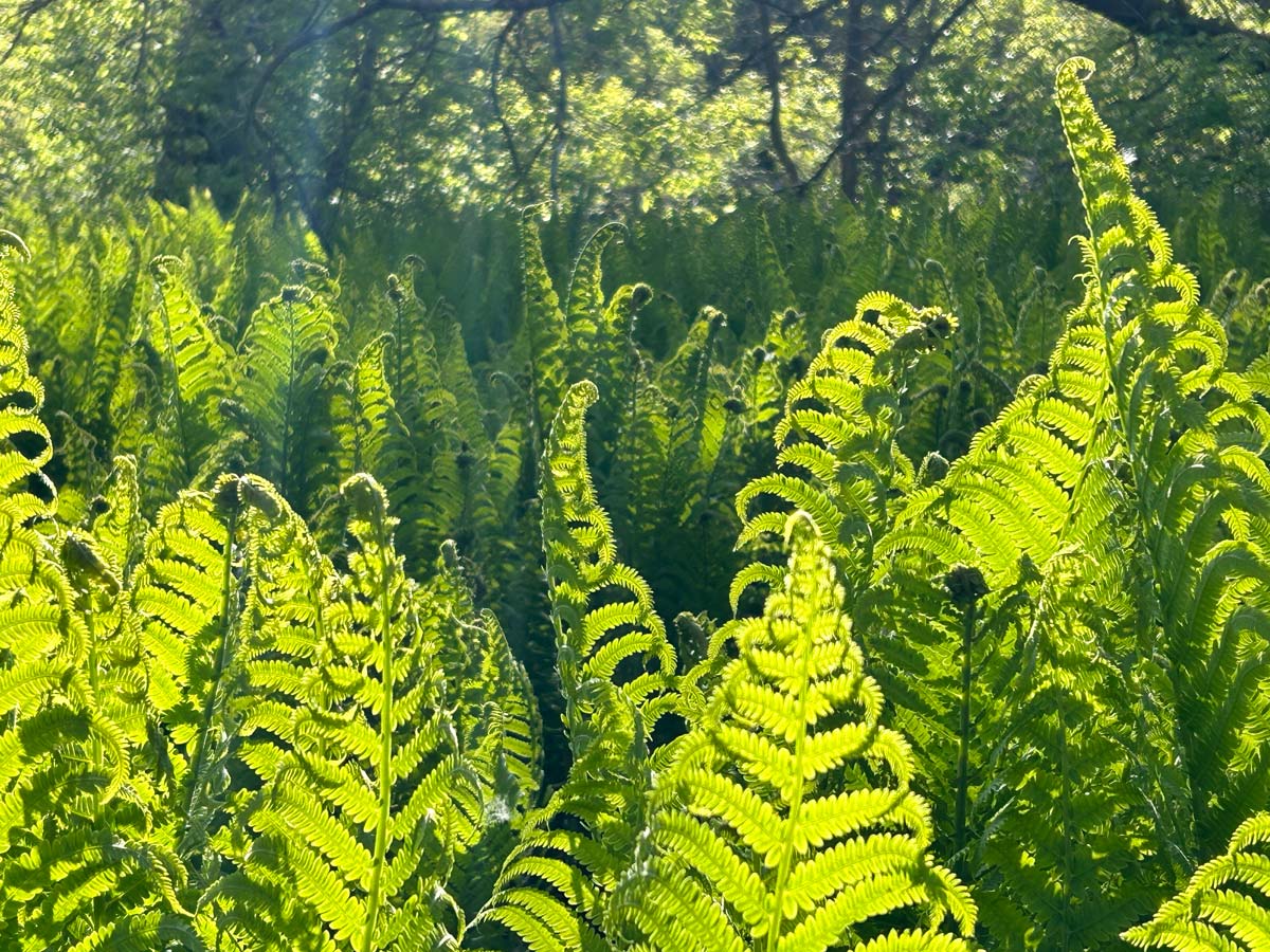
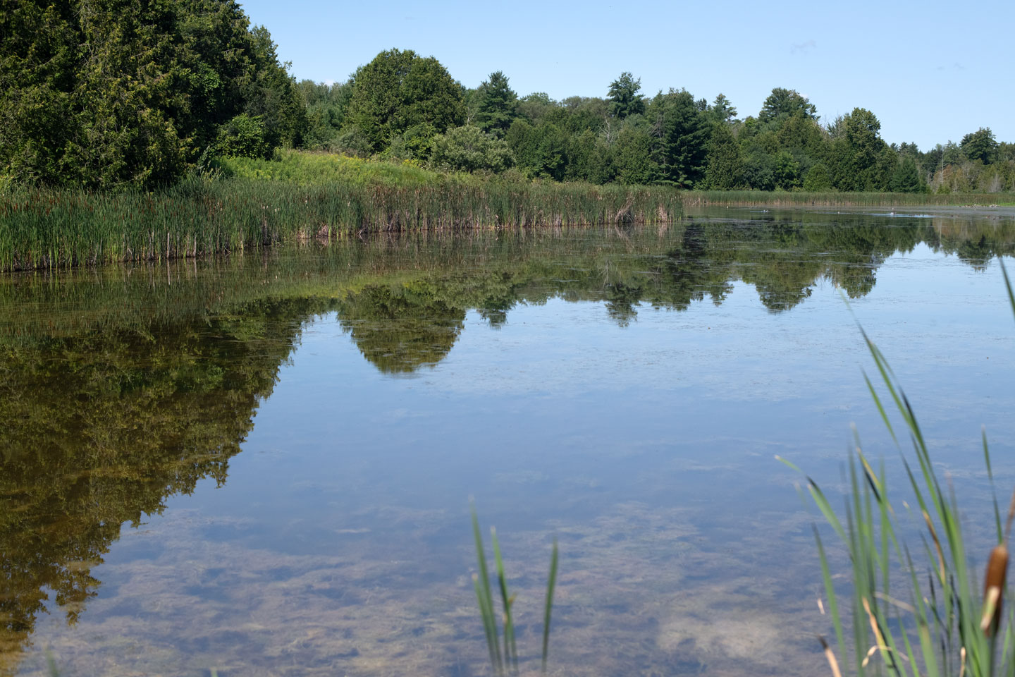
Ganaraska Millennium Conservation Area is adjacent to the Ganaraska River and is located at the GRCA Administrative Offices. A two kilometre looped trail meanders around a wetland that was once the Molson Pond, across the river from Port Hope Conservation Area.
Swimming is not permitted.
Fishing is permitted and regulated through the Province of Ontario, which includes the possession of a valid fishing license and respecting provincial catch limits. Anglers must follow provincial fishing practices for Zone 17.
The Conservation Area is used for passive recreation, including nature appreciation, wildlife observations, picnicking, hiking, dog-walking and fishing.
Various interpretive sites are found throughout the area to provide information on the unique habitats of the Ganaraska River. A covered picnic shelter is available for use, however formal use of the picnic shelter requires a specials event permit. Meeting space is also available for rent.
During the summer, the GRCA Nature Nuts Day Camp take place at the Conservation Area.
Garden Hill Conservation Area
Garden Hill Conservation Area is used for passive recreation, including nature appreciation, hiking, dog-walking, fishing and wildlife observations.
Swimming and hunting are not permitted.
Fishing is permitted and regulated through the Province of Ontario, which includes the possession of a valid fishing license and respecting provincial catch limits. Anglers must follow provincial fishing practices for Zone 17.
Garden Hill Conservation Area is the first conservation area owned and managed by the GRCA, and was acquired on June 3, 1956. The intent for the land was to reconstruct the woolen mill pond that occupied a portion of the property from 1869 to 1911. The creation of the reservoir in 1960 was hoped to regulate stream flow, increase groundwater supply, provide a better habitat for game fish and create a recreational resource.
Today, the main feature of the Conservation Area is the pond, which is approximately 14.2 hectares (35 acres). Two streams flow into the pond, Hamill’s Creek and Robb’s Creek.
Port Hope Conservation Area
Port Hope Conservation Area is used for passive recreation, including nature appreciation, fishing, dog-walking and wildlife observations.
Swimming and camping are not permitted.
Fishing is permitted and regulated through the Province of Ontario, which includes the possession of a valid fishing license and respecting provincial catch limits. Anglers must follow provincial fishing practices for Zone 17.
Greenspaces are found between the parking lot and Ganaraska River, fishing trails extend along the former rail line. Please respect neighbouring properties and do not enter private property.
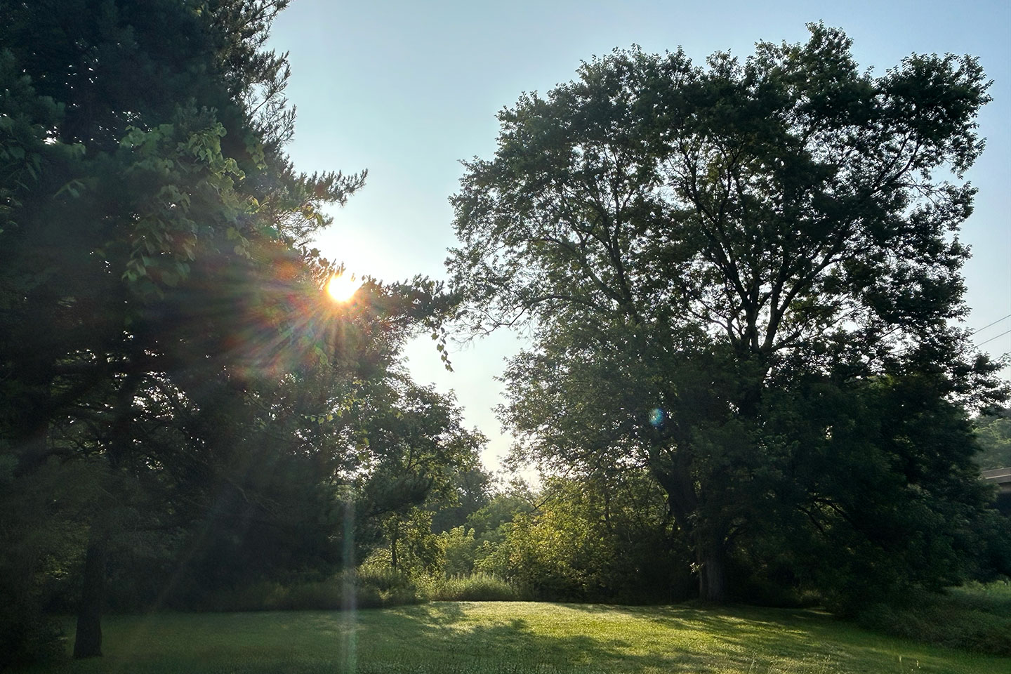
This conservation area is 89.94 acres (36.4 ha) in size, and is tucked beside the Ganaraska River. This land was acquired on February 3, 1964. The woodland trails along the Ganaraska River are rich in plant life and great for a picturesque stroll or nature photography.
Not only a great place to relax and enjoy a picnic by the water, but also a popular spot for fishing. The Ganaraska Fishway (fish sanctuary) is on the south side of Highway 401.
Rice Lake Conservation Area
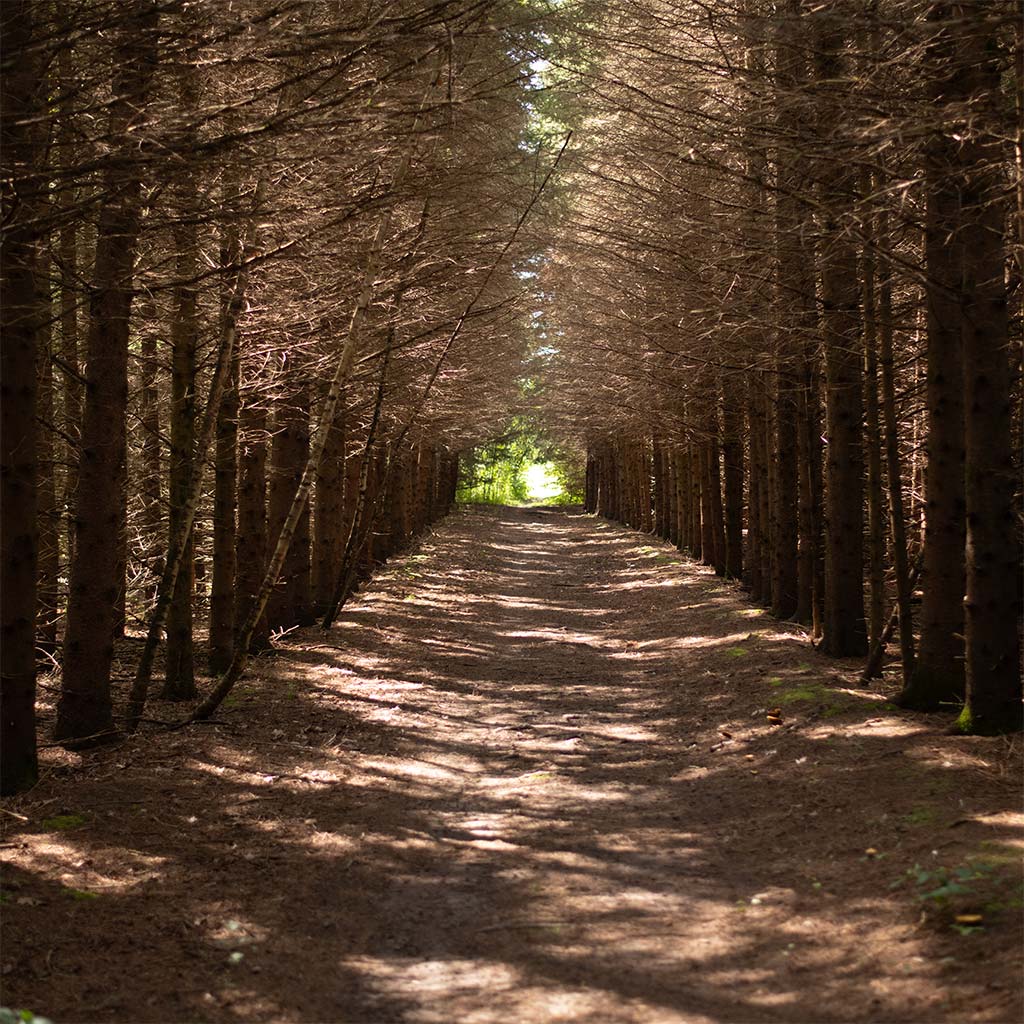
Rice Lake Conservation Area is used for passive recreation, including nature appreciation, hiking, dog-walking and wildlife observations
Swimming and fishing are not permitted.
A large open space east of the parking lot is available for picnicking, with the trail starting on the north side of the parking lot. A hydro corridor bisects the conservation area. Please stay out of the corridor and respect neighbouring properties.
ATTENTION: Bear sightings have been reported in Rice Lake Conservation Area. Be Bear Wise when visiting.
Acquired in 1972, the Rice Lake Conservation Area protects a large portion of the provincially significant wetland, Bewdley Marsh.
Richardson's Lookout Conservation Area
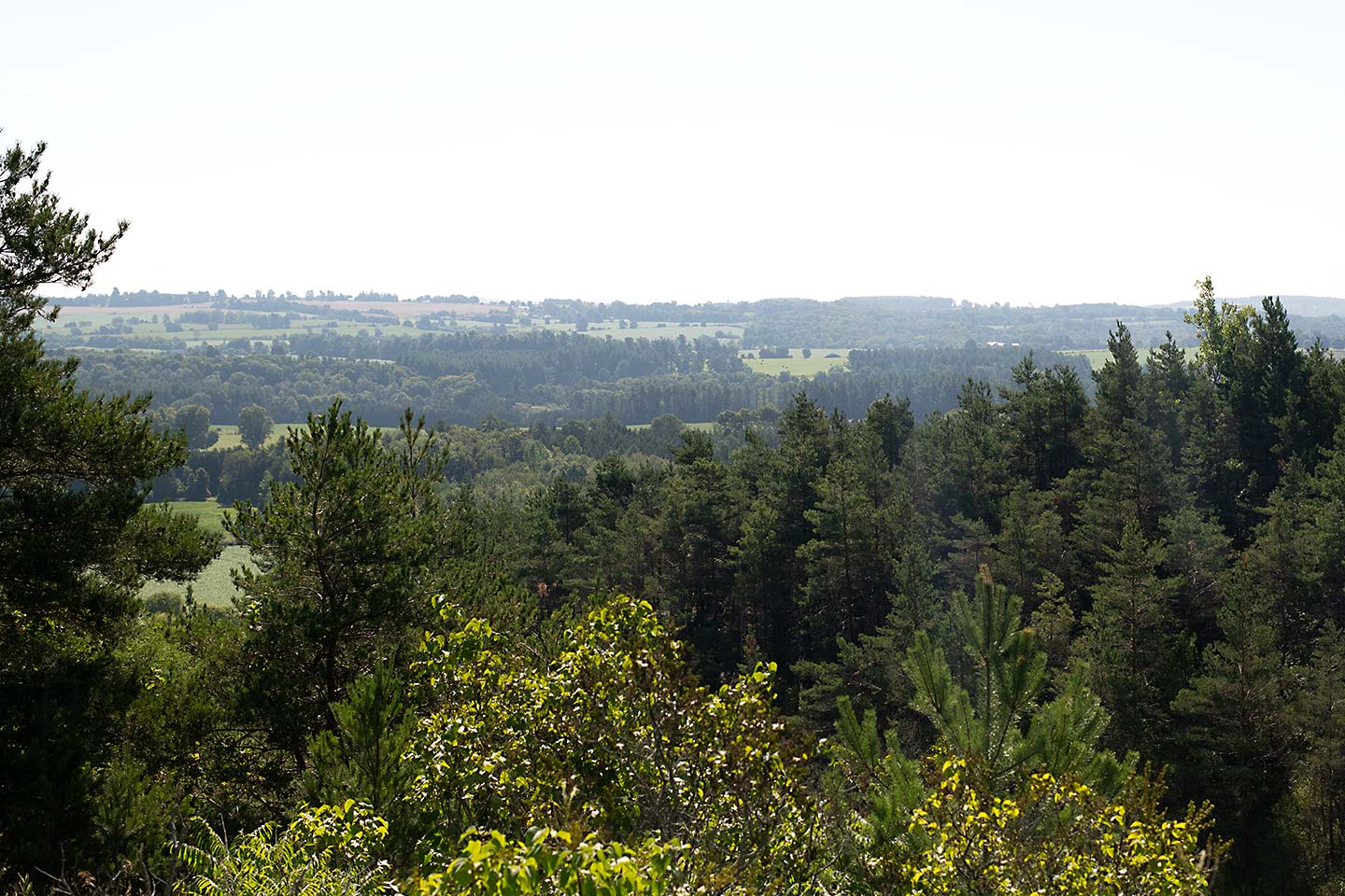
Richardson's Lookout Conservation Area is used for passive recreation, including nature appreciation and views of the Ganaraska River watershed and Ganaraska Forest.
After ascending stairs and a natural slope, a viewing platform allows visitors to enjoy the views. This conservation area is small (1.2 hectares) and is surrounded by private property.
Please respect our neighbours.
Acquired in 1963, the Richardson’s Lookout Conservation Area is located on the top of Dean’s Hill, the lookout sits at an elevation of 259 meters above sea level.
This location offers visitors a 225 degree radius of grand vistas that are spectacular in all seasons.
This Conservation Area is a memorial to A. H. Richardson, author of the Ganaraska Watershed Report. This is fitting, as the spectacular views are primarily of the Ganaraska Forest, which was a recommendation in the Ganaraska Watershed Report.

Sylvan Glen Conservation Area
Sylvan Glen Conservation Area is used for passive recreation, including nature appreciation, fishing, dog-walking and wildlife observations.
Swimming is not permitted.
Fishing is permitted and regulated through the Province of Ontario, which includes the possession of a valid fishing license and respecting provincial catch limits. Anglers must follow provincial fishing practices for Zone 17.
Located in the picturesque Ganaraska River valley and prone to flooding, the Sylvan Glen Conservation Area was acquired in 1956. The Ganaraska River flows along the northern boundary of this 2.02 hectares (5 acres) Conservation Area.
Today, the Sylvan Glen Conservation Area is used by local residents for fishing and the annual Float your Fanny Down the Ganny river race starts from the Conservation Area.
Thurne Parks Conservation Area
Thurne Parks Conservation Area is used for passive recreation, including nature appreciation, wildlife observations, fishing, and views of Wilmot Creek.
Fishing is permitted and regulated through the Province of Ontario, which includes the possession of a valid fishing license and respecting provincial catch limits. Anglers must follow provincial fishing practices for Zone 17.
Thurne Parks Conservation Area is 18.5 hectares (45.7 acres), and located north of Newcastle. Purchased in 1976 by the Ganaraska Region Conservation Authority, the property protects the flood prone valley lands and preserves trout spawning habitat. One of the major features in the Conservation Area is a one kilometer section of Wilmot Creek. In addition, Hunter/Stalker Creek joins the main branch within the Conservation Area.