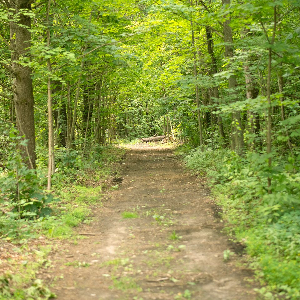
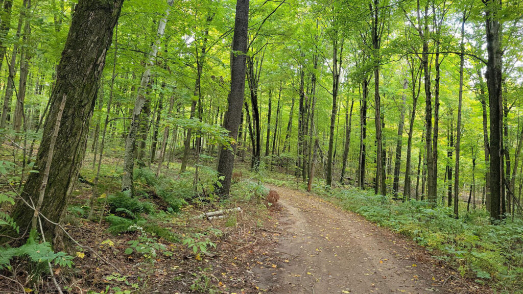
Explore the trails of the Ganaraska Forest
All visitors require a Forest Membership or Day Pass to enter the trails.
This web-based map is updated, as needed, to reflect trail notices or restrictions throughout the year and is the only approved map for the Ganaraska Forest's multi-use, recreational trails.
The map can be viewed in a web browser or can be downloaded onto a mobile device, where you can track your location on the downloaded map without needing mobile data. Please follow the instructions below the map.
See instructions below on how to use the web mapping application, as well as how to Access, Install and Set-up the mobile app on your own device. For more information on recreational-use, please see the revised Ganaraska Forest Rules & Guidelines. The Ganaraska Forest is open from dawn until dusk each day.
Please Note: Previous paper / PDF maps are no longer valid for use and the GRCA does not recognize the use or displayed trail data of third-party mapping applications.
The GRCA are continuing to work on clearing single track trails in the Central Forest. Access is restricted during this maintenance period.
Important Parking Information
Please remember to display your valid parking pass
Ganaraska Forest Centre (GFC)
- Public washrooms and showers available in the small building with a blue door at GFC.
- ORV’s (ATVs and off-road motorcycles) are not permitted to ride anywhere on Forest Centre grounds.
- Ganaraska Forest Centre ORV parking area is located just north of the main driveway into the GFC. No unloading ORV’s and No highway vehicle parking in this lot.
- Horses are not permitted on GFC grounds. Equestrians visiting the GFC must secure horses at the provided horse paddock.
Central Forest
- Ganaraska Forest Centre, 10585 Cold Springs Camp Road (No unloading Off Road Vehicles, Snowmobiles or Horses).
- Horse Trailer Lot, 10th Line Hope (1 km east of Cold Springs Camp Road) Horse trailer Parking Only.
West Forest
- P2, Boundary Road (1.5 km east of HWY 115).
- P6, Corner of Porter Road and Sandaraska Road (Additional dedicated Horse Trailer Parking).
- P7, Carscadden Road (1 km north of Concession Road 8).
East Forest
P5, 10th Line Port Hope (1.5 km west of County Road 10).
To purchase a Ganaraska Forest Membership or Day Pass, please visit:
Please download and read the Ganaraska Forest Rules & Guidelines before visiting the Forest.
The GRCA maintains cross-country skiing trails when weather conditions permit, including snow depth and cold temperatures.
Current Trail Conditions
All Trails & Loops
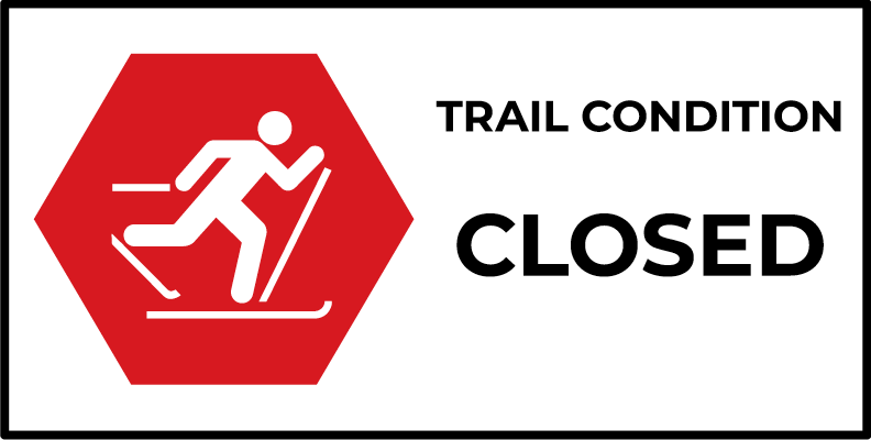
Ski Trails Closed For the Season,
updated on Mar. 31st, 2026
Current reported conditions are listed as of the time and date provided and change due to weather conditions.
Administration Office
2216 County Road 28
Port Hope, ON L1A 3V8
T: 905.885.8173
F: 905.885.9824
Ganaraska Forest Centre
10585 Cold Springs Camp Road
Campbellcroft, ON L0A 1B0
T: 905.885.8173
F: 905.797.2545
Map Instructions
Refresh Maps Before You Visit the Ganaraska Forest
Please download the ArcGIS Field Maps app using the links below and search for Ganaraska Forest Trails in the app.
To ensure you have the most up-to-date version of the Ganaraska Forest Trails Map, please check the Maps screen in the Field Maps app.
 Once the app has been downloaded to your device, open the app and select "Skip Sign In" (at the bottom of the sign in options)
Please use the buttons above to download the app for your specific device type.
 Search for the map by entering the name "Ganaraska Forest Trails" in the search bar of the Field Maps app. Download the map to your device while connected to WiFi, prior to arriving at the Forest.
Open the camera or a QR scanner on your mobile device and scan the QR code to open the mobile map in the app.
Or, after installing Field Maps, click this link on your mobile device.
Please ensure you are using the most up-to-date version of the map by checking for updates prior to your next trip. You will be prompted to download the newest version of map if one is available.
Returning to the Map screen, you will see "Update Available" below the map if an update is ready to download. Alternatively, you can click the 3 dots to the side of the map and select Check For Download.
Understanding & Using Field Maps
Please tap on the top-left arrow or Maps text link to check for map updates.

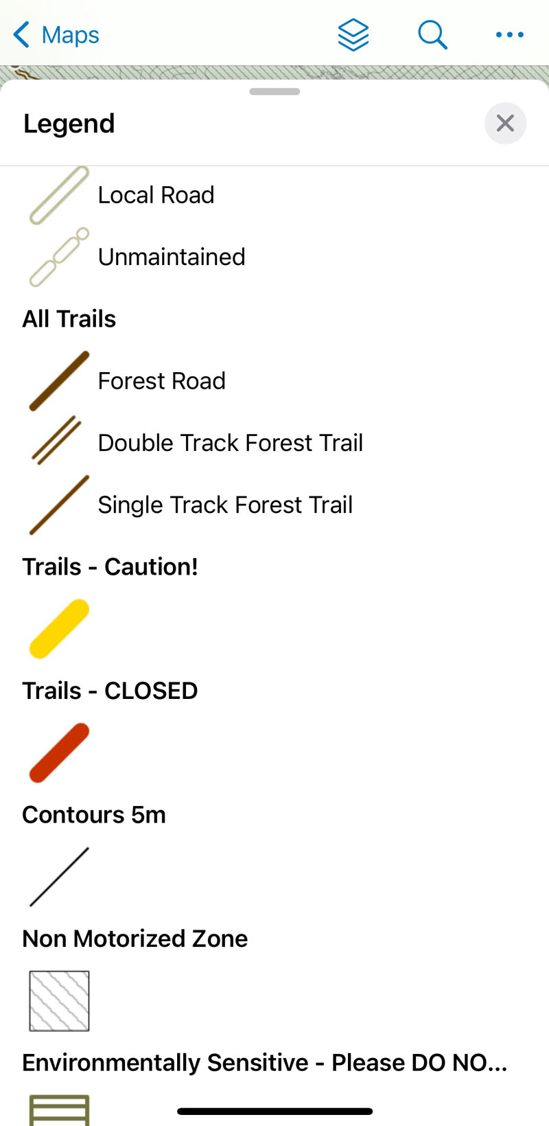
The 3 dots at top-right provide access to various options, including the Legend.
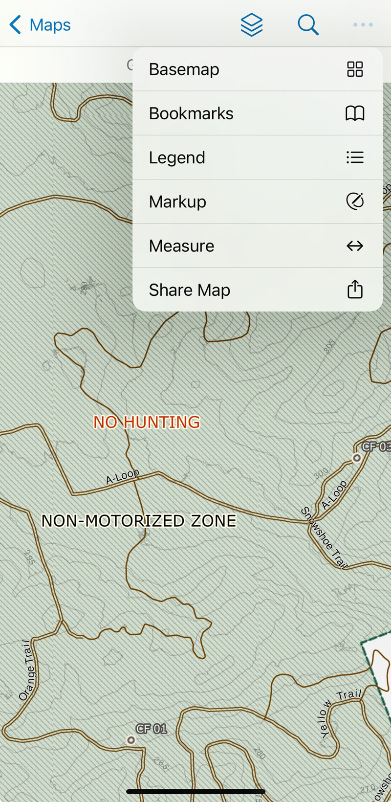
The Legend opens in the lower portion of your screen, scroll by sliding your finger up.