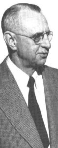
A.H. Richardson
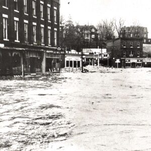
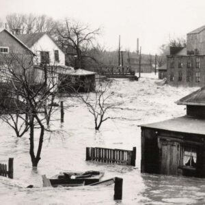
The early days of conservation began in the late 1800s with the realization that ongoing deforestation was having devastating environmental, social and economic impacts. Many individuals, community groups and organizations were ringing alarm bells at local and regional levels. Numerous pieces of legislation, policies, and programs late 1800s and early 1900s in effort to improve land management practices, protect existing were tested and implemented through the natural features, and restore degraded landscapes. However, one of the most instrumental additions to the conservation movement was the passing of the Conservation Authorities Act in 1946.
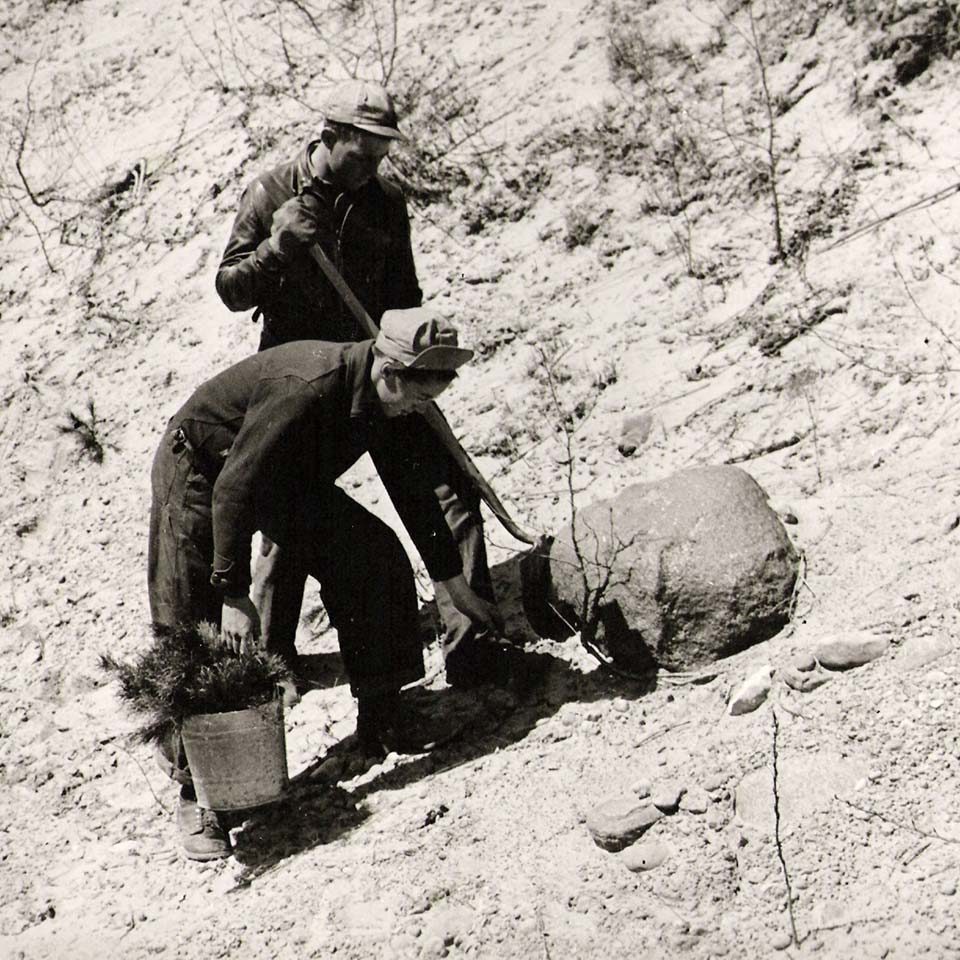
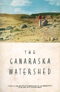
The Conservation Authorities Act came to be in part by a group of conservationists who met to discuss shared conservation concerns at the Guelph Conference in 1941. In order to build a case for conservation in Ontario, members of the Guelph Conference decided that a pilot survey should be carried out and funded by the provincial and federal governments. The selected survey site was the Ganaraska River watershed, with the survey being conducted from 1942 to 1943. The Ganaraska River watershed survey, the work carried out by the founding conservation associations, and the Conservation Authorities Act paved the way for the creation of the 36 Conservation Authorities that exist today.
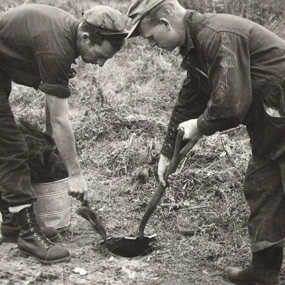
 The resulting report from the pilot study entitled "Ganaraska Watershed: A study in land use with recommendations for the rehabilitation of the area in the post war period” by A.H. Richardson, provided the necessary plan for managing the Ganaraska River watershed. Under the Conservation Authorities Act, the Ganaraska River Conservation Authority was formed on October 8, 1946, making it one of the first Authority’s formed. While other Conservation Authorities were awaiting a conservation report from the Conservation Branch, the Ganaraska River Conservation Authority began implementing the recommendations from the Ganaraska Watershed report.
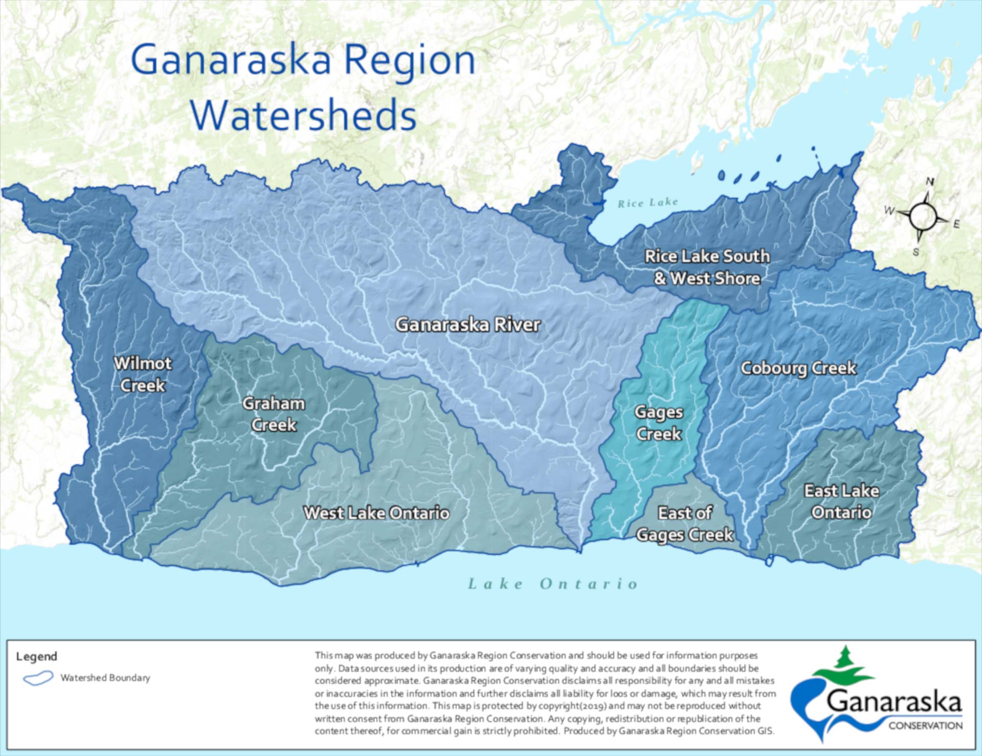
Locally, effects of land use changes and land cover were being realized in other watersheds. The Ontario Forestry Branch published A Study in Forest Conservation and Land Use on the headwaters of Wilmot Creek in 1940, two years before the survey work of the Ganaraska River.
In 1962 and under a requested expansion by local municipalities, Wilmot Creek, Graham Creek, and smaller streams flowing to Lake Ontario in the west were added to the responsibly of the Ganaraska River Conservation Authority. With this expansion, the Authority was re-named the Ganaraska Region Conservation Authority (GRCA). In 1970 Gage Creek, Cobourg Creek and streams flowing to Lake Ontario and Rice Lake in the east were added. With the final expansion, the GRCA covers an area of 935 square kilometres from Wilmot Creek in Clarington to east of Cobourg from the south shore of Rice Lake down to Lake Ontario. This area includes seven municipalities in whole or in part: Township of Cavan-Monaghan, Town of Cobourg Township of Alnwick-Haldimand, Township of Hamilton, Municipality of Port Hope, City of Kawartha Lakes, Municipality of Clarington.
 The resulting report from the pilot study entitled "Ganaraska Watershed: A study in land use with recommendations for the rehabilitation of the area in the post war period” by A.H. Richardson, provided the necessary plan for managing the Ganaraska River watershed. Under the Conservation Authorities Act, the Ganaraska River Conservation Authority was formed on October 8, 1946, making it one of the first Authority’s formed. While other Conservation Authorities were awaiting a conservation report from the Conservation Branch, the Ganaraska River Conservation Authority began implementing the recommendations from the Ganaraska Watershed report.